وارد شدن
کاربران ستاره
نظرسنجی
شروع
>
ایالات متحده آمریکا
>
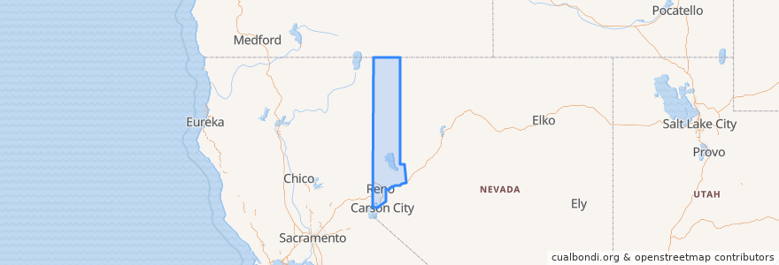
نوادا
>
Washoe County
Washoe County
در نقشه تعاملی مشاهده کنید
مسیرهای حمل و نقل عمومی
Flixbus 2064: Reno => San Francisco
Flixbus 2064: San Francisco => Reno
Flixbus N2006: Los Angeles => Reno
Flixbus N2006: Reno => Los Angeles
RTC Route 16 Idlewild
RTC Route 2s Ninth/Silverada
RTC Route 4 West Seventh
RTC Route 56 South Meadows/Damonte Ranch
RTC Sierra Spirit
اماکن
Reno
(9)
Verdi-Mogul
(4)
Sparks
(1)
Cold Springs
(0)
Gerlach-Empire
(0)
Incline Village-Crystal Bay
(0)
Lemmon Valley-Golden Valley
(0)
Nixon
(0)
Spanish Springs
(0)
Sun Valley
(0)
Sutcliffe
(0)
Wadsworth
(0)
ایستگاه
RTC Meadowood Mall
FlixBus Reno
Bay J
Bay O
Bay F
Bay T
Bay A
Bay B
FlixBus Reno
نقاط مورد علاقه
Flowing Tide Pub
Bruka Theatre
Child Garden
Agnes Risley Elementary School
ChargePoint
Starbucks
Tonic Lounge
Mellow Fellow
Wells Fargo ATM
Pizanos Pizza
Umpqua Bank
Basque Library
Davidson's Distillery
Qdoba
Jimmy's Express Car Wash
CVS
Pizza Reno
ChargePoint
Starbucks
Wingstop
Little Nugget Diner
El Cortez Lounge
Lincoln Lounge
Icecycle creamery
RAWBRY
Thai Corner Cafe
Domino's Pizza
Ole Bridge Pub
Truckee River Bar N Grill
Minato Sushi & Bar