Login
Star users
Poll
Home
>
United States
>
New Jersey
>
Union County
>
Plainfield
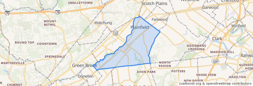
Plainfield
See in interactive map
Routes of public transport
NJTB - 819 - Metuchen to Piscataway (Weekdays)
NJTB - 819 - Piscataway to Metuchen (Weekdays)
NJTB - 819 - Piscataway to South Plainfield (Saturdays)
NJTB - 819 - Plainfield to South Plainfield (Weekdays)
NJTB - 819 - South Plainfield to Piscataway (Saturdays)
NJTB - 819 - South Plainfield to Plainfield (Weekdays)
NJTB - 822
Stops
Watchung Avenue at East 4th Street
Randolph Road at Arlington Avenue
Randolph Road at Arlington Avenue
3rd Street at Church Street
Watchung Avenue at East 4th Street
3rd Street at Church Street
Points of interest
Calvary Baptist Church
Union County TEAMS Charter School
Hartridge School
Union County Charter school
First Unitarian Society of Plainfield
Saint Bernards School
Miracle Baptist Church
Charles H Stillman Elementary School
Hubbard Middle School
Community Church of God
Brisas Bakery & Restaurant
Church of the Holy Cross
Plainfield
Kings Daughters Day School
Saint Bernard's Church
JFK-Muhlenberg Campus Satellite Emergency Department
Growing Tree Preschool
First Christian Assembly Church
Saint Peter's Evangelical Lutheran Church
Saint Mary's Roman Catholic Church
Somerset Elementary School
Park Avenue Gentle Dental: Dr. Harsha Patel DDS
Community Baptist Church
Koinonia Academy School
Newmark School
Kingdom Hall Jehovahs Witnesses
Star Bright Christian Learning Center School
Greater Refuge Church of Christ
Central Jersey Arts Charter School
Shiloh Baptist Church