로그인
스타 사용자
투표
홈페이지
>
미국
>
뉴저지
>
Union County
>
Plainfield
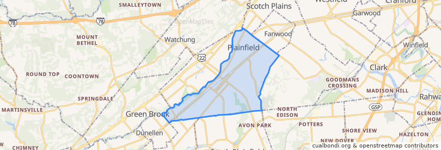
Plainfield
대화식지도에서보기
대중 교통 경로
NJTB - 819 - Metuchen to Piscataway (Weekdays)
NJTB - 819 - Piscataway to Metuchen (Weekdays)
NJTB - 819 - Piscataway to South Plainfield (Saturdays)
NJTB - 819 - Plainfield to South Plainfield (Weekdays)
NJTB - 819 - South Plainfield to Piscataway (Saturdays)
NJTB - 819 - South Plainfield to Plainfield (Weekdays)
NJTB - 822
버스 정류장
Watchung Avenue at East 4th Street
Watchung Avenue at East 4th Street
Randolph Road at Arlington Avenue
3rd Street at Church Street
Randolph Road at Arlington Avenue
3rd Street at Church Street
가볼만한 곳
Greater Refuge Church of Christ
Watchung Avenue Presbyterian Church
Community Church of God
Calvary Baptist Church
Hartridge School
First Unitarian Society of Plainfield
Calvary Full Gospel Church
Saint Marys School
Pentecostal Church (Iglesia Pentecostal)
Saint Bernards School
Evergreen Elementary School
Covenant United Methodist Church
Cross of Life Lutheran Church
Emerson Elementary School
Grace Episcopal Church
Cedarbrook Elementary School
First Christian Assembly Church
Heirs of Promise Christian School
Kingdom Hall Jehovahs Witnesses
Charles H Stillman Elementary School
Koinonia Academy School
Hubbard Middle School
JFK-Muhlenberg Campus Satellite Emergency Department
Park Avenue Gentle Dental: Dr. Harsha Patel DDS
Union County TEAMS Charter School
Miracle Baptist Church
Saint Bernard's Church
Queen City Academy Charter School
Somerset Elementary School
Church of the Holy Cross