Login
Star users
Poll
Home
>
United States
>
New Jersey
>
Union County
>
Plainfield
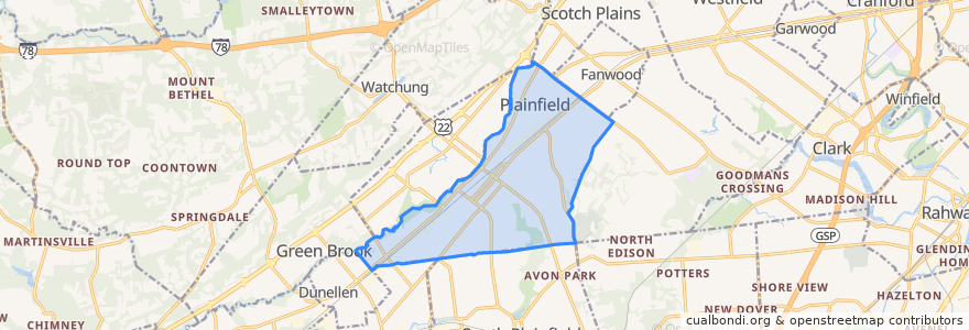
Plainfield
See in interactive map
Routes of public transport
NJTB - 819 - Metuchen to Piscataway (Weekdays)
NJTB - 819 - Piscataway to Metuchen (Weekdays)
NJTB - 819 - Piscataway to South Plainfield (Saturdays)
NJTB - 819 - Plainfield to South Plainfield (Weekdays)
NJTB - 819 - South Plainfield to Piscataway (Saturdays)
NJTB - 819 - South Plainfield to Plainfield (Weekdays)
NJTB - 822
Stops
3rd Street at Church Street
Watchung Avenue at East 4th Street
Watchung Avenue at East 4th Street
Randolph Road at Arlington Avenue
Randolph Road at Arlington Avenue
3rd Street at Church Street
Points of interest
Community Church of God
Evergreen Elementary School
Grace Episcopal Church
Hartridge School
Saint Peter's Evangelical Lutheran Church
Plainfield Spanish Seventh Day Adventist Church
Crescent Avenue Presbyterian Church
Park Avenue Gentle Dental: Dr. Harsha Patel DDS
Queen City Academy Charter School
Saint Bernard's Church
Koinonia Academy School
Church of the Holy Cross
Somerset Elementary School
Union County TEAMS Charter School
Covenant United Methodist Church
Kings Daughters Day School
First Christian Assembly Church
Metropolitian Seventh Day Adventist Church
First Unitarian Society of Plainfield
Washington Community Elementary School
Kingdom Hall Jehovahs Witnesses
Plainfield
Miracle Baptist Church
Saint Joseph's Church
Saint Marys School
Pentecostal Church (Iglesia Pentecostal)
Brisas Bakery & Restaurant
Calvary Baptist Church
Saint Mary's Roman Catholic Church
Brook Avenue Cemetery