Login
Star users
Poll
Home
>
United States
>
New Mexico
>
Bernalillo County
>
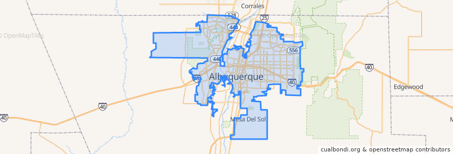
Albuquerque
Albuquerque
See in interactive map
Routes of public transport
ABQ RIDE Route 1 Juan Tabo Boulevard
ABQ RIDE Route 250 Airport/Downtown
ABQ RIDE Route 36 Rio Grande Boulevard/12th Street
ABQ RIDE Route 37 Rio Grande Boulevard/12th Street
ABQ RIDE Route 766 ART Red Line
ABQ RIDE Route 93 Academy Commuter
Rio Metro Route 366 Albuquerque/Route 66 Casino Hotel
Rio Metro Route 505 Bernalillo/Downtown Albuquerque
Stops
Barelas
Bay N
UNM/CNM
West Central
Bay F
Airport Terminal @ Yale
Bay B
Highland
-106.72523620000001, 35.0787525
Downtown
Presbyterian
Nob Hill
Main Library
BioPark
The Town of Atrisco
West Downtown
Old Town
Alvarado Transportation Center
-106.57090120000001, 35.1029791
International District
Nob Hill East
The Bluffs
Bay E
UNM/Popejoy
San Mateo
-106.5792385, 35.0770356
East Downtown
Points of interest
Zendo
University of New Mexico Dermatology Clinic
Albuquerque Post Office
ChargePoint
Domino's Pizza
Rain Tunnel Car Wash
Al's
El Cotorro
Delicias Cafe
Starbucks
Bubba's 33
Presbyterian Medical Group Northside Urgent Care
UNM Center For Digestive Disease
Coronado School
The Shop
Subway
Bank of Albuquerque
ABQ Uptown
Jimmy John's
Pita Pit
Monte Vista Elementary School
Papa John's
Comida Buena
Tractor Brewing (Nob Hill Tap Room)
Buffet King
Health & Social Service Center
Olympia Cafe
Subway
Encino Dental Care
Panda Express