Login
Star users
Poll
Home
>
United States
>
New Mexico
>
Bernalillo County
>
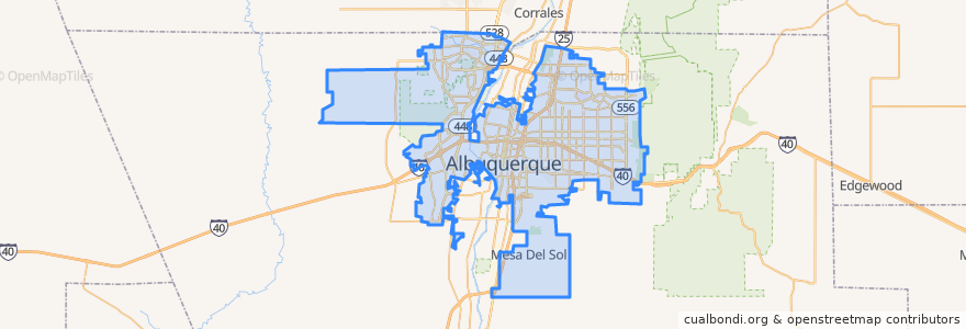
Albuquerque
Albuquerque
See in interactive map
Routes of public transport
ABQ RIDE Route 1 Juan Tabo Boulevard
ABQ RIDE Route 250 Airport/Downtown
ABQ RIDE Route 36 Rio Grande Boulevard/12th Street
ABQ RIDE Route 37 Rio Grande Boulevard/12th Street
ABQ RIDE Route 766 ART Red Line
ABQ RIDE Route 93 Academy Commuter
Rio Metro Route 366 Albuquerque/Route 66 Casino Hotel
Rio Metro Route 505 Bernalillo/Downtown Albuquerque
Stops
The Bluffs
International District
UNM/CNM
-106.5792385, 35.0770356
Old Town
Barelas
Bay N
West Downtown
Airport Terminal @ Yale
Presbyterian
Downtown
-106.72523620000001, 35.0787525
East Downtown
-106.57090120000001, 35.1029791
Main Library
Nob Hill
The Town of Atrisco
Nob Hill East
Bay E
Highland
West Central
San Mateo
BioPark
Bay F
Alvarado Transportation Center
UNM/Popejoy
Bay B
Points of interest
Garcia's
Squeezed Juice Bar
Triangle Park Police Substation
Medicine@Downtown
Shell
Monroe's
The Box Performance Space
Phillips 66
Burger King
Bosque Burger
Giant
Sushi King
Cake's Nightclub
Panda Express
El Zarandeado
Singing Arrow Community Center
Whole Hog Cafe
Saint Vincent Academy
Gioco
Jimmy John's
KFC
Glass recycling
Wendy's
Chevron gas station
P'tit Louis Bistro
Fill-Up
Lindy's Diner
The Jam Spot
Limonata
Y-Mart