로그인
스타 사용자
투표
홈페이지
>
미국
>
뉴멕시코
>
Bernalillo County
>
앨버커키
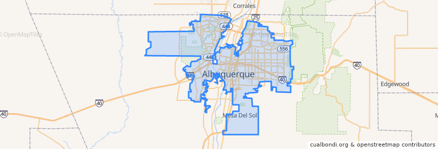
앨버커키
대화식지도에서보기
대중 교통 경로
ABQ RIDE Route 1 Juan Tabo Boulevard
ABQ RIDE Route 250 Airport/Downtown
ABQ RIDE Route 36 Rio Grande Boulevard/12th Street
ABQ RIDE Route 37 Rio Grande Boulevard/12th Street
ABQ RIDE Route 766 ART Red Line
ABQ RIDE Route 93 Academy Commuter
Rio Metro Route 366 Albuquerque/Route 66 Casino Hotel
Rio Metro Route 505 Bernalillo/Downtown Albuquerque
버스 정류장
Presbyterian
Alvarado Transportation Center
The Town of Atrisco
Airport Terminal @ Yale
Bay B
Old Town
Nob Hill
Downtown
International District
Bay N
Bay F
BioPark
West Central
Barelas
Nob Hill East
Bay E
-106.57090120000001, 35.1029791
-106.72523620000001, 35.0787525
-106.5792385, 35.0770356
Main Library
UNM/Popejoy
UNM/CNM
East Downtown
West Downtown
Highland
San Mateo
The Bluffs
가볼만한 곳
Laru Ni Hati
Copper Lounge
BBVA Compass ATM
San Felipe de Neri Catholic Church
P'tit Louis Bistro
Lotus
Laguna Burger
Standard Diner
Takumi Restaurant
The Apothecary
El Cotorro
Mr. Sushi
Encino Dental Care
Applebee's
Walmart Pharmacy
Panda Express
Highland Baptist Church
Amtrak Office
Burger King
United States Indian School
Aldo's New York Style Pizzeria
Cararro's Pizza & Italian Restaurant
Farina Alto
Giant
Limonata
Fastino's
Tia B's La Waffleria
Einstein Bros. Bagels
St. Clair Winery & Bistro
Hana Teppanyaki