Login
Star users
Poll
Home
>
United States
>
New York
>
Onondaga County
>
Syracuse
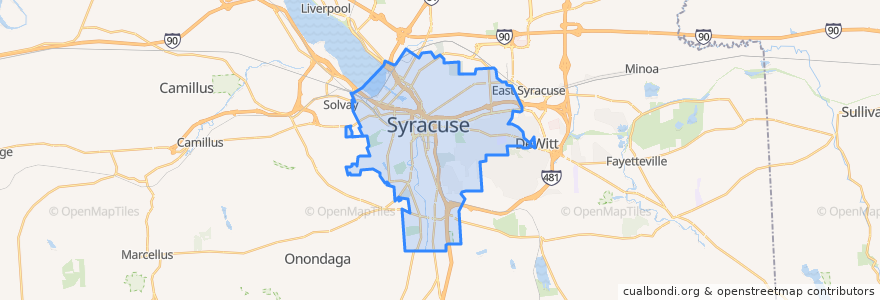
Syracuse
See in interactive map
Routes of public transport
Centro 110 South Salina Street-Valley Plaza
Centro 126 South Avenue-Hospital
Centro 130 SU-Westcott Street-Nottingham High School
Centro 140 SU-Thurber Street
Centro 16 North Salina Street-Regional Transportation Center
Centro 172 East Colvin Street
Centro 226X South Avenue-OCC Express
Centro 230 SU-Westcott Street
Centro 26 South Avenue-Elmwood Avenue
Centro 274 Solvay-Avery Avenue-Bailey Street
Centro 410 South Salina Street-Nedrow
Centro 426 South Avenue-Valley Drive-Hospital
Centro 43 Waverly Avenue
Centro 443 Connective Corridor
Centro 444 Small Road
Centro 45 SU-Destiny USA
Centro 526 South Avenue-Valley Drive-OCC
Centro 54 Midland Avenue-West Matson Avenue
Centro 68 East Fayette Street-Westmoreland Avenue
Centro 72 Townsend Street
Centro 94 J-Lot Shuttle
Flixbus 2686: Niagara Falls => New York City
Stops
-76.1245054, 43.036483600000004
B14
B9
-76.0822895, 43.040382
A5
B12
A1
B10
B8
A7
Regional Transportation Center
-76.1242745, 43.03662
A3
-76.13923750000001, 43.035924900000005
B17
A2
-76.0824523, 43.040297900000006
B18
B11
Points of interest
Metro Harvest Assembly of God
Believers' Chapel City
Bochasanwasi Shri Akshar Purushottam Swaminarayan Sanstha
Pathfinder Bank
Rong Cheng
Strong Hearts on the Hill
Nick's Tomato Pie
UPS Dropbox
New Long Cheng Chinese Food Take Out & Buffet
BBQ House
Unity of Syracuse
Salt City Coffee
bc Restaurant
Open Hand Theater
Lemon Grass
Tompkins School
Ruby's Soul Food
Crossroads Church of God By Faith INC.
Pavone's Pizza
M&T Bank
AmeriCU Credit Union
Phoebe's
Mi Casita Restaurant
Galaxy Communications
Rooter's
Syracuse Community Health Center East
Dunkin' Donuts
Westside Academy at Blodgett
Westminster Presbyterian Church
Downtown Farmer's Market