로그인
스타 사용자
투표
홈페이지
>
미국
>
뉴욕
>
Onondaga County
>
Syracuse
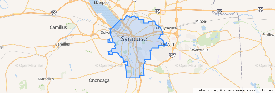
Syracuse
대화식지도에서보기
대중 교통 경로
Centro 110 South Salina Street-Valley Plaza
Centro 126 South Avenue-Hospital
Centro 130 SU-Westcott Street-Nottingham High School
Centro 140 SU-Thurber Street
Centro 16 North Salina Street-Regional Transportation Center
Centro 172 East Colvin Street
Centro 226X South Avenue-OCC Express
Centro 230 SU-Westcott Street
Centro 26 South Avenue-Elmwood Avenue
Centro 274 Solvay-Avery Avenue-Bailey Street
Centro 410 South Salina Street-Nedrow
Centro 426 South Avenue-Valley Drive-Hospital
Centro 43 Waverly Avenue
Centro 443 Connective Corridor
Centro 444 Small Road
Centro 45 SU-Destiny USA
Centro 526 South Avenue-Valley Drive-OCC
Centro 54 Midland Avenue-West Matson Avenue
Centro 68 East Fayette Street-Westmoreland Avenue
Centro 72 Townsend Street
Centro 94 J-Lot Shuttle
Flixbus 2686: Niagara Falls => New York City
버스 정류장
B18
-76.0824523, 43.040297900000006
-76.1242745, 43.03662
A2
-76.0822895, 43.040382
B11
B10
B12
A3
A7
B17
A1
B8
Regional Transportation Center
-76.1245054, 43.036483600000004
B9
-76.13923750000001, 43.035924900000005
A5
B14
가볼만한 곳
Syracuse University School of Management
Strong Hearts
St. Luke
Kinney Drugs
Taps
Dominican Monastery
Modern Malt
Huntington Family Center
Solvay Super Saver
Spring Chinese Restaurant
ESF University Police
Planned Parenthood
United States Post Office
Modern Malt Bakeshop
Believers' Chapel City
Saint Anthonys School
Clary Middle School
Subway
Westside Academy at Blodgett
Saint Johns School
My Home
The Sweet Praxis
Freedom of Espresso
United States Post Office
State University of New York Upstate Medical University
Red Olive
Chipotle
Kinney Drugs Pharmacy
Galaxy Communications
Nikos