Login
Star users
Poll
Home
>
United States
>
New York
>
Onondaga County
>
Syracuse
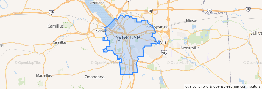
Syracuse
See in interactive map
Routes of public transport
Centro 110 South Salina Street-Valley Plaza
Centro 126 South Avenue-Hospital
Centro 130 SU-Westcott Street-Nottingham High School
Centro 140 SU-Thurber Street
Centro 16 North Salina Street-Regional Transportation Center
Centro 172 East Colvin Street
Centro 226X South Avenue-OCC Express
Centro 230 SU-Westcott Street
Centro 26 South Avenue-Elmwood Avenue
Centro 274 Solvay-Avery Avenue-Bailey Street
Centro 410 South Salina Street-Nedrow
Centro 426 South Avenue-Valley Drive-Hospital
Centro 43 Waverly Avenue
Centro 443 Connective Corridor
Centro 444 Small Road
Centro 45 SU-Destiny USA
Centro 526 South Avenue-Valley Drive-OCC
Centro 54 Midland Avenue-West Matson Avenue
Centro 68 East Fayette Street-Westmoreland Avenue
Centro 72 Townsend Street
Centro 94 J-Lot Shuttle
Flixbus 2686: Niagara Falls => New York City
Stops
-76.0822895, 43.040382
A1
-76.1245054, 43.036483600000004
A5
B8
B9
A2
B11
-76.13923750000001, 43.035924900000005
B12
Regional Transportation Center
B17
-76.1242745, 43.03662
B14
B18
-76.0824523, 43.040297900000006
A3
B10
A7
Points of interest
Dunkin' Donuts
The Market Diner
Lemon Grass
Geddes Express
Modern Malt
Bottle & Can Retrieval Center
Bochasanwasi Shri Akshar Purushottam Swaminarayan Sanstha
WCNY
M&T Bank
LeTeak's Soul Food
Provisions
The Taste of Africa
Recess Coffee
St. Luke
Dr. William A. Harris Health Center
Danforth Middle School
State University of New York College of Environmental Science and Forestry
Subway
bc Restaurant
Saint Johns School
John H. Mulroy Civic Center Theaters
Upstate Specialty Services At Harrison Center
Sakana-Ya Conveyor Belt Sushi Bar
New Life Temple of Praise
First Christian Assembly
Mom's Diner
God's Temple of Faith Ministries
St. Joseph's Hospital Health Center
Water Street Bagel
State University of New York Upstate Medical University