Login
Star users
Poll
Home
>
United States
>
New York
>
Albany County
>
Albany
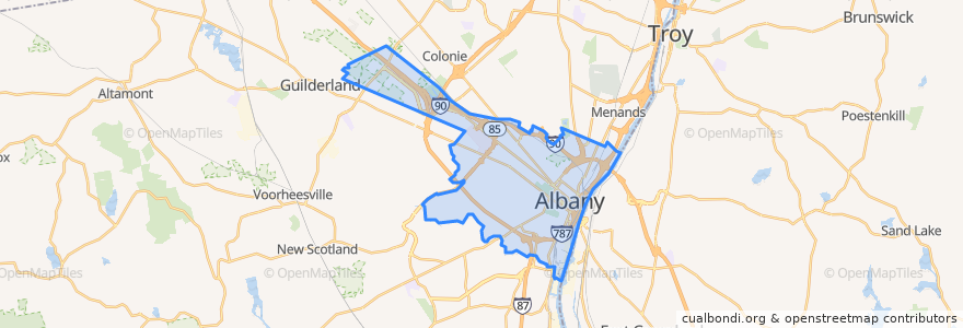
Albany
See in interactive map
Routes of public transport
CDTA 100 Mid City Belt
CDTA 114 Madison/Washington
CDTA 116 Mount Hope/Albany South End
CDTA 11 UAlbany Shuttle
CDTA 138 Allen/Livingston
CDTA 224 Albany-HVCC-Troy via Route 4
CDTA 233 Albany/Schodack
CDTA 520 Albany/Nassau Express
CDTA 531 St. Luke's/Woodlawn Park & Ride Express
CDTA 6 Second/Whitehall
CDTA 7 Glenmont
CDTA 870 Capital City Trolley
Stops
-73.7917322, 42.666394000000004
-73.79167430000001, 42.6665441
State St & S. Pearl St - S. Pearl Station
Broadway & Peter D Kiernan Plaza
Washington Ave & Hawk St - Capitol/Hawk Station
-73.7878563, 42.665336700000005
Core 1
-73.77401640000001, 42.6609148
-73.7820097, 42.6635253
Madison Ave & Empire State Plaza
-73.7745326, 42.6609068
S. Swan St & Washington Ave
Points of interest
Albany, NY 12207
Madison Avenue Presbyterian Church
Trustco
Empire State Plaza Convention Center
Golden Fried Chicken
Albany
LAX Restaurant and Lounge
CVS/Pharmacy
Lou-Bea's Pizza
The French Press Cafe & Creperie
Kumo Sushi & Grill
Church of Saint Ann
Mr. Tikka Kabab
Nicole's
Excelsior College
Munchies
Stagecoach Coffee
Sadie Klutz
Graney's Stout
Stacks Espresso Bar
Choices Cafe
Key Bank
Jennings Landing
The Bishop
PG's Cafe
KID Cafe
Shalimar
Van's Vietnamese
Empire State Plaza Amphitheater
Blue 82