وارد شدن
کاربران ستاره
نظرسنجی
شروع
>
ایالات متحده آمریکا
>
New York
>
Albany County
>
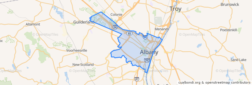
Albany
Albany
در نقشه تعاملی مشاهده کنید
مسیرهای حمل و نقل عمومی
CDTA 100 Mid City Belt
CDTA 114 Madison/Washington
CDTA 116 Mount Hope/Albany South End
CDTA 11 UAlbany Shuttle
CDTA 138 Allen/Livingston
CDTA 224 Albany-HVCC-Troy via Route 4
CDTA 233 Albany/Schodack
CDTA 520 Albany/Nassau Express
CDTA 531 St. Luke's/Woodlawn Park & Ride Express
CDTA 6 Second/Whitehall
CDTA 7 Glenmont
CDTA 870 Capital City Trolley
ایستگاه
-73.7917322, 42.666394000000004
-73.7745326, 42.6609068
-73.79167430000001, 42.6665441
-73.77401640000001, 42.6609148
Washington Ave & Hawk St - Capitol/Hawk Station
S. Swan St & Washington Ave
Broadway & Peter D Kiernan Plaza
-73.7820097, 42.6635253
Madison Ave & Empire State Plaza
-73.7878563, 42.665336700000005
Core 1
State St & S. Pearl St - S. Pearl Station
نقاط مورد علاقه
Saint James Institute
Cafe Capriccio
The Barrel Saloon
Crestwood Pharmacy
SEFCU
Trustco Bank
Italian American Community Center
Albany Bible Institute
Governor Thomas E Dewey Graduate Library for Public Affairs and Policy
Polish American Community Center
LaSalle School
Plaza 23 Truck Stop
Albany Distilling Company Bar & Bottle Shop
Waterworks
Albany County Health Center
Capital City Gastropub
Wolff's Biergarten
Metropolitan Baptist Church
West Pinebush Police Station
Angelo's 677 Prime
Blessed & Humble Daycare
The French Press Cafe & Creperie
Evangelical Protestant Church
Hudson Harbor Steak & Seafood
Luke's Pizzeria
Empire State Plaza Amphitheater
Washington Park - Madison & New Scotland
Berkshire Bank
Bonobo cafe
College of Engineering and Applied Sciences