Login
Star users
Poll
Home
>
United States
>
Ohio
>
Hamilton County
>
Cincinnati
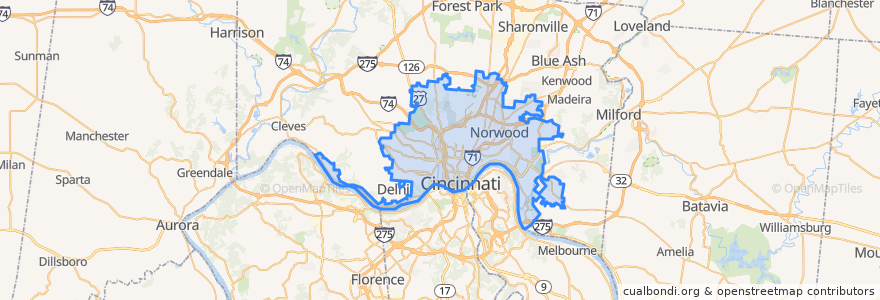
Cincinnati
See in interactive map
Routes of public transport
33 Western Hills - Glenway
Cincinnati Bell Connector
Greyhound 1117: Cleveland, OH → Cincinnati, OH
Greyhound 4400: Cincinnati, OH → Cleveland, OH
Ludlow-Bromley
Rosedale Latonia
Saylor Park
Saylor Park
Western Hills - Uptown
Places
Norwood
(2)
Stops
River Rd & Mt Echo Dr
8th St & Depot St
The Banks
River Rd 6013
Gracely Dr & Ivanhoe Ave
Court & Main
Glenway Ave & Wilder Ave
River Rd 5718
Gracely Dr & Laura Ln
Glenway Ave & Rapid Run Pike
Gracely Dr & Zinn Pl
River Rd 4583
River Rd & Bowditch St
Gracely Dr 7141
8th St & State Ave
-84.50998220000001, 39.100425900000005
Glenway Ave & Casa Loma Blvd
Glenway Ave 5243
River Rd 5510
River Rd 3799
7th St & Race St
River Rd 2855
Glenway Ave & Ferguson Rd
River Rd & Southside Ave
Gracely Dr & Wilkins Short Rd
River Rd 4472
Glenway Ave & Muddy Creek Rd
Boudinot Ave & West Tower Ave
Warsaw Ave & Hawthorne Ave
Warsaw Ave & Grand Ave
Points of interest
The Pub at Rookwood Mews
Mikey's Late Night Slice
Holiday Spirits
Elementz
Oddfellows Liquor Bar
McCormick & Schmick's
Frisch's Big Boy
Incline Public House
Bean Haus
Tesla Supercharger
Coffee Emporium
United Dairy Farmers
Sundry and Vice
Habesha Restaurant & Cafe
Revolution Rotisserie & Bar
Liberty Street Market
The Lackman
Red Bike - Aronoff Center
Subway
DELICIO Coal Fired Pizza
French Crust Cafe & Bistro
BurgerFi
Nicholson's Tavern & Pub
Bobby’s Burger Palace
Taste of Belgium - OTR
Rooted
Fifth Third Bank
First Baptist Church of Delhi
Gomez
Salazar