로그인
스타 사용자
투표
홈페이지
>
미국
>
오하이오 주
>
Hamilton County
>
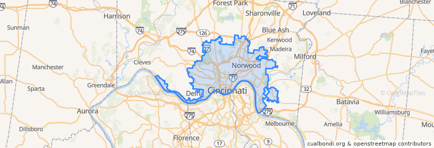
Cincinnati
Cincinnati
대화식지도에서보기
대중 교통 경로
33 Western Hills - Glenway
Cincinnati Bell Connector
Greyhound 1117: Cleveland, OH → Cincinnati, OH
Greyhound 4400: Cincinnati, OH → Cleveland, OH
Ludlow-Bromley
Rosedale Latonia
Saylor Park
Saylor Park
Western Hills - Uptown
장소
Norwood
(2)
버스 정류장
Glenway Ave & Wilder Ave
River Road 6060
River Rd & Ansonia Ave
River Rd & Southside Ave
Glenway Ave & Rapid Run Pike
River Rd 4136
8th St & State Ave
River Rd & Delhi Ave
River Rd & Mcginnis Ave
River Rd & Fithian St
Warsaw Ave & McPherson Ave
Gracely Dr & Huey Ave
8th St 1150
Gracely Dr & Catalpa Rd
River Rd 4287
8th St & Depot St
Aronoff Center
River Rd & Mcwilliams St
River Rd 4673
-84.5099672, 39.1003567
River Rd & Cathcart St
Main Library
4th & Main
River Rd & Leland Ave
River Rd 6095
6th & Main
Warsaw Ave & Peerless St
River Rd 5637
River Rd 2789
7th St & Race St
가볼만한 곳
Pendleton Parlor Ice Cream & Cookie Dough
Wodka Bar
Half Cut
2nd Street Entrance
Second Trinity Baptist Church
Our Lady of Lourdes School
Asiana Thai & Sushi
Bakersfield
Saint Lawrence School
Starbucks
Jack Binion’s Steakhouse
Taqueria Mercado Cincinnati
Red Bike - P&G
Dunlap Cafe
First Baptist Church of Oakley
Cincinnati
Skyline Chili
Deeper Roots Coffee
Columbia Grounds
Holy Grail Tavern & Grille
Court Street Lobster Bar
Alabama Fishbar
The Bagelry
Red Bike - Pendleton
The Original Tom+Chee
Red Bike - 8th & Broadway
Cincinnati Law Library
Fountain Square Parking Garage Entrance
Restaurant L
Fusian