Login
Star users
Poll
Home
>
United States
>
South Carolina
>
Charleston County
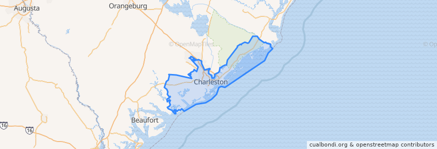
Charleston County
See in interactive map
Routes of public transport
CARTA 203 Medical Shuttle
CARTA 204 MUSC/Calhoun Circulator
CARTA 20 King Street
CARTA 210 DASH Orange Line
CARTA 211 DASH Green Line
CARTA 213 DASH Purple Line
CARTA 7 HOP Shuttle
Places
Awendaw
(0)
Folly Beach
(0)
Hollywood
(0)
Isle of Palms
(0)
Kiawah Island
(0)
Lincolnville
(0)
McClellanville
(0)
Meggett
(0)
Mount Pleasant
(0)
Ravenel
(0)
Rockville
(0)
Seabrook Island
(0)
Sullivan"s Island
(0)
Points of interest
Francis Brown African Methodist Episcopal Church
Callie's Hot Little Biscuit
Charleston
Renzo
Virginia's on King
Hank's
Mount Herman Reformed Methodist Union Episcopal Church
Sacred Heart Catholic Church
Mercato
Trident Technical College Palmer Campus Library
First African Evangelical Christian Church
Chatime
The Workshop
Five Guys
United States Marshals Service
Cafe Paradisio
Trattoria Lucca
Black Tap Coffee
East Bay Meeting House
Stars Rooftop Bar & Grill
Taziki's Mediterranean Cafe
First Assembly of God Church
Trinity African Methodist Episcopal Church
Market Street Saloon
CFD Command Training Center / Old CFD HQ
Saint Johns Episcopal Church
Lincolnville
Starbucks
College of Charleston Post Office
Ice Bing Cafe