Login
Star users
Poll
Home
>
United States
>
South Carolina
>
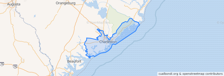
Charleston County
Charleston County
See in interactive map
Routes of public transport
CARTA 203 Medical Shuttle
CARTA 204 MUSC/Calhoun Circulator
CARTA 20 King Street
CARTA 210 DASH Orange Line
CARTA 211 DASH Green Line
CARTA 213 DASH Purple Line
CARTA 7 HOP Shuttle
Places
Awendaw
(0)
Folly Beach
(0)
Hollywood
(0)
Isle of Palms
(0)
Kiawah Island
(0)
Lincolnville
(0)
McClellanville
(0)
Meggett
(0)
Mount Pleasant
(0)
Ravenel
(0)
Rockville
(0)
Seabrook Island
(0)
Sullivan"s Island
(0)
Points of interest
O-Ku
Holy Trinity Reformed Episcopal Church
Sullivan"s Island
Belgian Gelato
Palmer College
Folly Beach
Rhett School
Salem Baptist Church
East Bay School
Lincolnville
Pops NY Pizza
CVS Pharmacy
Bruegger's Bagels
Cumberland Smokehouse
MUSC Lot
Charleston Police Department
Poogan's Smokehouse
Grill 225
Lowcountry Bistro
Tasty Thai & Sushi
Pita Pit
Charleston County
Vintage Lounge
chopsticks house
Wilmot J Fraser Elementary School
Stella's
Charles A Brown High School
Ice Bing Cafe
College of Charleston Post Office
South Carolina Federal Credit Union