Accesso
Utenti preferiti
Sondaggio
Homepage
>
Stati Uniti d'America
>
Carolina del Sud
>
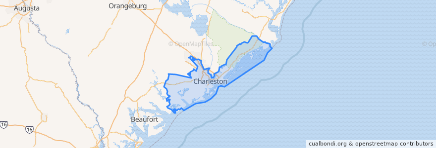
Charleston County
Charleston County
Visualizza nella mappa interattiva
Percorsi di trasporto pubblico
CARTA 203 Medical Shuttle
CARTA 204 MUSC/Calhoun Circulator
CARTA 20 King Street
CARTA 210 DASH Orange Line
CARTA 211 DASH Green Line
CARTA 213 DASH Purple Line
CARTA 7 HOP Shuttle
Posti
Awendaw
(0)
Folly Beach
(0)
Hollywood
(0)
Isle of Palms
(0)
Kiawah Island
(0)
Lincolnville
(0)
McClellanville
(0)
Meggett
(0)
Mount Pleasant
(0)
Ravenel
(0)
Rockville
(0)
Seabrook Island
(0)
Sullivan"s Island
(0)
Punti di interesse
Seabrook Island
Hot Mustard
Starbucks
Saint Phillip African Methodist Episcopal Church
JohnKing Grill & Bar
Craftsman Kitchen and Tap House
Moe's Southwest Gril
Little Jacks Tavern
Huriyali
Benny's
Library Parking Garage
New Ebenezer African Methodist Episcopal Church
Cafe Paradisio
Hampton Park Baptist Church
The Macintosh
Church of God
Black Tap Coffee
Refuge Church of Christ
Church of God
First African Evangelical Christian Church
Bocci's
Sanders - Clyde Elementary School
Taco Boy
Silver Dollar
Peninsula Grill
Saint James United Methodist Church
Trattoria Lucca
Waterfront Park
Hank's
Charleston Fire Department Station 2