Login
Usuarios estrella
Encuesta
Inicio
>
Estados Unidos de América
>
Oregón
>
Clackamas County
>
Damascus
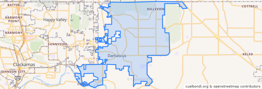
Damascus
Ver en mapa interactivo
Recorridos de transporte público
Bus 30: Clackamas Town Center => Estacada
Bus 30: Estacada => Clackamas Town Center
Bus 30: Estacada => Portland
Bus 30: Portland => Estacada
Paradas
17400 Block Southeast Highway 224
16000 Block Southeast Highway 224
Southeast Highway 224 & Springwater Road
15700 Block Southeast Highway 224
Southeast Highway 224 & Eckert Ln
Southeast Highway 224 & Goosehollow
16400 Block Southeast Highway 224
16400 Block Southeast Highway 224
16000 Block Southeast Highway 224
Southeast Highway 224 & Eckert Ln
Southeast Highway 224 & 232nd Drive
Southeast Highway 224 & Eilers Circle
Southeast Highway 224 & Goosehollow
Southeast Highway 224 & 232nd Drive
17500 Block Southeast Highway 224
16200 Block Southeast Highway 224
17300 Block Southeast Highway 224
Southeast Highway 224 & Eilers Circle
Puntos de interés
Damascus
Carver Community Church
Carver Cafe
Carver Hangar