Login
Star users
Poll
Home
>
United States
>
Pennsylvania
>
Berks County
>
Reading
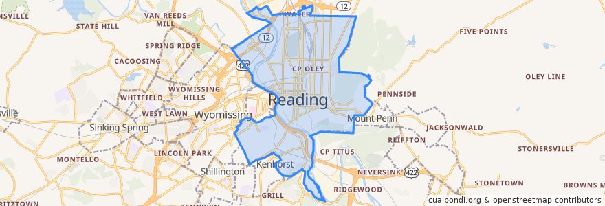
Reading
See in interactive map
Routes of public transport
BARTA Route 10 Brookline
BARTA Route 19 Riverside/FirstEnergy Stadium/Cotton Street via BTC
BARTA Route 2 Fairgrounds Square Market
BARTA Route 3 Temple via Kutztown Road
BARTA Route 4 10th/11th Streets
BARTA Route 5 Albright College
BARTA Route 9 Grill via Kenhorst
Stops
Stop 6
Stop 4
Stop 8
Stop 3
Stop 1
Points of interest
Williams Family Restaurant
German Lutheran Cemetery
International Holiness Church
Charles Evans Cemetery
Grace United Methodist Church
Thomas H Ford School
Enterprise
First Church of God
Bus Station
Hampden Mennonite Church
Nativity of Blessed Virgin Mary Ukrainian Catholic Church
Millmont School
Little Brown Jug
Grace Bible Fellowship Church
Berks County Humane Society
Saint Thomas United Church of Christ
Pendora Park Field House
ChargePoint
Saint Lukes Evangelical Lutheran Church
Kesher Zion Synagogue
Christar
Saint Anthony of Padua Roman Catholic Church
Nativity Lutheran Church
Freedom Gate Ministries
Berks Community Health Center
Reading Bike Hub
Albright College
Liberty Ale House
Saint Peters Catholic Church
Central School