Login
Star users
Poll
Home
>
United States
>
Pennsylvania
>
Berks County
>
Reading
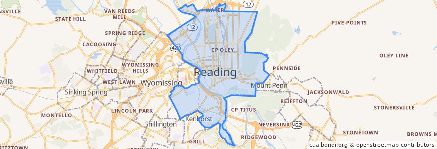
Reading
See in interactive map
Routes of public transport
BARTA Route 10 Brookline
BARTA Route 19 Riverside/FirstEnergy Stadium/Cotton Street via BTC
BARTA Route 2 Fairgrounds Square Market
BARTA Route 3 Temple via Kutztown Road
BARTA Route 4 10th/11th Streets
BARTA Route 5 Albright College
BARTA Route 9 Grill via Kenhorst
Stops
Stop 8
Stop 6
Stop 3
Stop 1
Stop 4
Points of interest
Southwest Junior High School
First Century Worship Center
Mount Penn School
Saint Peter School
Liberty Fire Company
Saint Joseph's Roman Catholic Church
Amanda E Stout School
Tenth and Green Streets Elementary School
Saint Peters Catholic Cemetery
Freedom Gate Ministries
Iglesia Hermanso Unidos en Christo Church
Thomas H Ford School
El Portico Church
Traveler's Pub
Dr. Frank A. Franco Library
Grace United Methodist Church
Saint Marys Episcopal Church
Church of God in Christ
Sunoco Gas Station
Reading Intermediate High School
Sixteenth Street Elementary School
Central School
First Church of God
Pennsylvania Conference of Seventh Day Adventists Administrative Office
Schlegel Park Field House
Reading
Saint Marys Roman Catholic Church
German Lutheran Cemetery
Ugly Oyster Drafthaus
Hampden Mennonite Church