로그인
스타 사용자
투표
홈페이지
>
미국
>
펜실베이니아
>
Berks County
>
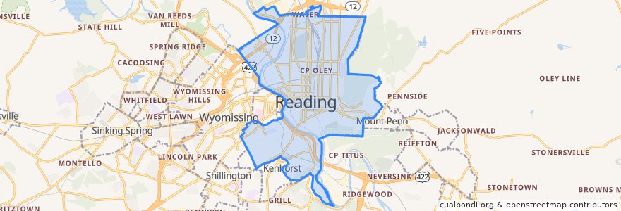
Reading
Reading
대화식지도에서보기
대중 교통 경로
BARTA Route 10 Brookline
BARTA Route 19 Riverside/FirstEnergy Stadium/Cotton Street via BTC
BARTA Route 2 Fairgrounds Square Market
BARTA Route 3 Temple via Kutztown Road
BARTA Route 4 10th/11th Streets
BARTA Route 5 Albright College
BARTA Route 9 Grill via Kenhorst
버스 정류장
Stop 8
Stop 3
Stop 4
Stop 1
Stop 6
가볼만한 곳
Liberty Fire Company
Enterprise
Dr. Frank A. Franco Library
Millmont School
Central School
Fairview Mennonite Church
Calvary Baptist Church
Faith Temple United Holiness Church
Community School of Music and the Arts
13th and Green Elementary
Northeast Branch Library
Saint Marys Roman Catholic Church
Reading
Holy Rosary Church
Iglesia Hermanso Unidos en Christo Church
Pentecostal Christ Is Risen Church
Grace United Methodist Church
Wawa
Church of God in Christ
Saint Joseph School
Berks Community Health Center
Oakbrook Fire Company
Williams Family Restaurant
Keffer Park Field House
Child Evangelism Fellowship of Reading
Christar
Reading Moravian Church
Kesher Zion Synagogue
Berks County Humane Society
Trinity Lutheran Cemetery