Accesso
Utenti preferiti
Sondaggio
Homepage
>
Stati Uniti d'America
>
Utah
>
Box Elder County
>
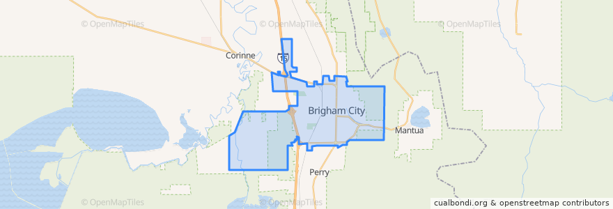
Brigham City
Brigham City
Visualizza nella mappa interattiva
Percorsi di trasporto pubblico
UTA Route 630 Brigham City/Ogden (to Brigham City)
UTA Route 630 Brigham City/Ogden (to Ogden)
UTA Route F638 Brigham City/Willard Flex
Punti di interesse
Bridgerland Applied Technology College
The Church of Jesus Christ of Latter-day Saints
Smith's Fuel
The Church of Jesus Christ of Latter-day Saints
Subway
The Church of Jesus Christ of Latter-day Saints
Brigham City
Domino's Pizza
Police Station
First Baptist Church
El Toro Viejo
China Hua guan
The Church of Jesus Christ of Latter-day Saints
Foothill Elementary School
Bridgerland College of Cosmetology
VFW Post
Brigham City Hall
Lincoln School
Aldersgate United Methodist Church
Hunan Village
Christian Reformed Church
Subway
Asemblea de Dios
The Church of Jesus Christ of Latter-day Saints
The Church of Jesus Christ of Latter-day Saints
Saint Michaels Episcopal Church
The Church of Jesus Christ of Latter-day Saints
The Church of Jesus Christ of Latter-day Saints
The Church of Jesus Christ of Latter-day Saints
La Hermosa Assembly