Login
Usuarios estrella
Encuesta
Inicio
>
Estados Unidos de América
>
Utah
>
Salt Lake County
>
Sandy
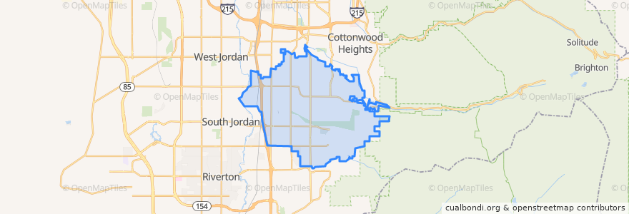
Sandy
Ver en mapa interactivo
Recorridos de transporte público
Blue Line to Draper Town Center
Blue Line to Salt Lake Central
UTA Route 218 South Jordan (to South Jordan Station)
UTA Route 218 South Jordan (to West Jordan City Center Station)
UTA Route 320 Highland Drive Fast Bus (to 9400 South 2000 East Park and Ride)
UTA Route 320 Highland Drive Fast Bus (to Downtown Salt Lake)
UTA Route 354 Sandy/U of U Fast Bus (to 9400 South 2000 East Park & Ride)
UTA Route 354 Sandy/U of U Fast Bus (to U of U Medical Center)
UTA Route 525 Midvale Shuttle
Lugares
White City
(0)
Paradas
Sandy Civic Center
Crescent View
Crescent View
Crescent View
Sandy Expo
Puntos de interés
Jehovahs Witnesses Sandy Congregation
McDonald's
Latter-day Saint
America First Credit Union
Sizzler
Lake hill memorial worship wall
Rite Aid
Copperview Center
The Church of Jesus Christ of Latter-day Saints
The Church of Jesus Christ of Latter-day Saints
White City
The Church of Jesus Christ of Latter-day Saints
Joe's Crab Shack
Chase
United States Post Office
KeyBank
Sandy
9400 S / 2000 E
Sandy Civic Center
The Church of Jesus Christ of Latter-day Saints
Club 90
Rich's Bagels
Burger King
Zaxby's
Smith's Gas
Domino's
Walgreens
Harmons Pharmacy
The Church of Jesus Christ of Latter-day Saints
Alta Canyon Post Office