وارد شدن
کاربران ستاره
نظرسنجی
شروع
>
ایالات متحده آمریکا
>
پنسیلوانیا
>
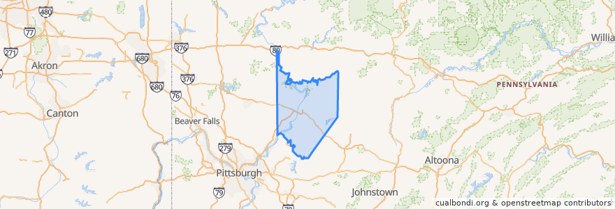
Armstrong County
Armstrong County
در نقشه تعاملی مشاهده کنید
اماکن
Applewold
(0)
Atwood
(0)
Bethel Township
(0)
Boggs Township
(0)
Bradys Bend Township
(0)
Burrell Township
(0)
Cadogan Township
(0)
Cowanshannock Township
(0)
Dayton
(0)
East Franklin Township
(0)
Elderton
(0)
Ford City
(0)
Ford Cliff
(0)
Freeport
(0)
Gilpin Township
(0)
Hovey Township
(0)
Kiskiminetas Township
(0)
Kittanning
(0)
Kittanning Township
(0)
Madison Township
(0)
Mahoning Township
(0)
Manor Township
(0)
Manorville
(0)
North Apollo
(0)
North Buffalo Township
(0)
Parker
(0)
Parks Township
(0)
Perry Township
(0)
Pine Township
(0)
Plumcreek Township
(0)
Rayburn Township
(0)
Redbank Township
(0)
Rural Valley
(0)
South Bend Township
(0)
South Bethlehem
(0)
South Buffalo Township
(0)
Sugarcreek Township
(0)
Valley Township
(0)
Washington Township
(0)
Wayne Township
(0)
West Franklin Township
(0)
West Kittanning
(0)
Worthington
(0)
نقاط مورد علاقه
Leechburg
North Buffalo Township
Dayton
Burrell Township
Freeport
Bradys Bend Township
Parks Township
Plumcreek Township
Applewold
Armstrong County
Atwood
Sugarcreek Township
West Franklin Township
Hovey Township
East Franklin Township
Boggs Township
South Bend Township
Pine Township
Gilpin Township
Redbank Township
Kittanning Township
Rayburn Township
Kiskiminetas Township
Manorville
Cowanshannock Township
Ford City
Valley Township
Apollo
New Bethlehem
Ford Cliff