Oturum aç
Yıldız kullanıcılar
Anket
anasayfa
>
Amerika Birleşik Devletleri
>
Pensilvanya
>
Armstrong County
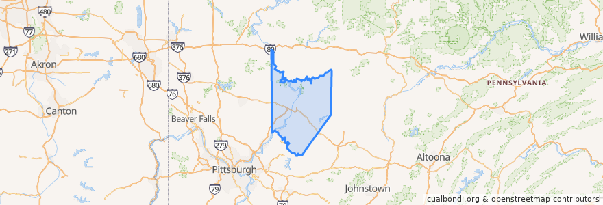
Armstrong County
Etkileşimli haritada görüntüle
Yerler
Applewold
(0)
Atwood
(0)
Bethel Township
(0)
Boggs Township
(0)
Bradys Bend Township
(0)
Burrell Township
(0)
Cadogan Township
(0)
Cowanshannock Township
(0)
Dayton
(0)
East Franklin Township
(0)
Elderton
(0)
Ford City
(0)
Ford Cliff
(0)
Freeport
(0)
Gilpin Township
(0)
Hovey Township
(0)
Kiskiminetas Township
(0)
Kittanning
(0)
Kittanning Township
(0)
Madison Township
(0)
Mahoning Township
(0)
Manor Township
(0)
Manorville
(0)
North Apollo
(0)
North Buffalo Township
(0)
Parker
(0)
Parks Township
(0)
Perry Township
(0)
Pine Township
(0)
Plumcreek Township
(0)
Rayburn Township
(0)
Redbank Township
(0)
Rural Valley
(0)
South Bend Township
(0)
South Bethlehem
(0)
South Buffalo Township
(0)
Sugarcreek Township
(0)
Valley Township
(0)
Washington Township
(0)
Wayne Township
(0)
West Franklin Township
(0)
West Kittanning
(0)
Worthington
(0)
İlgi noktaları
South Bend Township
Atwood
Boggs Township
Ford City
Wayne Township
North Buffalo Township
Elderton
Sugarcreek Township
West Franklin Township
Freeport
Cowanshannock Township
Perry Township
South Buffalo Township
Ford Cliff
Mahoning Township
Kiskiminetas Township
East Franklin Township
North Apollo
New Bethlehem
Gilpin Township
Manorville
Bethel Township
Washington Township
Foxburg
Dayton
Valley Township
Rayburn Township
Parker
Parks Township
Hovey Township