Login
Star users
Poll
Home
>
United States
>
Ohio
>
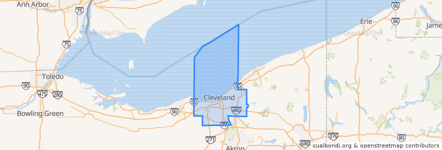
Cuyahoga County
Cuyahoga County
See in interactive map
Routes of public transport
Greyhound 1117: Cleveland, OH → Cincinnati, OH
Greyhound 4400: Cincinnati, OH → Cleveland, OH
RTA 28A Euclid
RTA 28 Euclid
RTA 32 Cedar
RTA 34 East 200-Green
RTA 37 East 175-Taylor
RTA 41F Warrensville (northbound)
RTA 41F Warrensville (southbound)
RTA 54 Brookpark
RTA 79A Fulton
RTA B-Line Trolley
RTA Blue Line: South Harbor → Warrensville–Van Aken
RTA Blue Line: Warrensville–Van Aken → South Harbor
RTA C-Line Trolley
RTA E-Line Trolley
RTA Green Line: Green Road → South Harbor
RTA Green Line: South Harbor → Green Road
RTA NineTwelve Line
RTA Red Line: Airport → Windermere
RTA Red Line: Windermere → Airport
Places
Cleveland
(19)
East Cleveland
(7)
Shaker Heights
(7)
Beachwood
(4)
Brook Park
(4)
Cleveland Heights
(4)
Euclid
(4)
South Euclid
(4)
University Heights
(4)
Brooklyn
(2)
Glenwillow
(2)
Highland Hills
(2)
Lakewood
(2)
Orange
(2)
Parma
(2)
Solon
(2)
Warrensville Heights
(2)
Brecksville
(1)
Broadview Heights
(1)
Cuyahoga Heights
(1)
Independence
(1)
Lyndhurst
(1)
Middleburg Heights
(1)
Newburgh Heights
(1)
Strongsville
(1)
Bay Village
(0)
Bedford
(0)
Bedford Heights
(0)
Bentleyville
(0)
Berea
(0)
Brooklyn Heights
(0)
Chagrin Falls
(0)
Chagrin Falls Township
(0)
Fairview Park
(0)
Garfield Heights
(0)
Gates Mills
(0)
Highland Heights
(0)
Maple Heights
(0)
Mayfield
(0)
Mayfield Heights
(0)
Moreland Hills
(0)
North Olmsted
(0)
North Randall
(0)
North Royalton
(0)
Oakwood
(0)
Olmsted Falls
(0)
Olmsted Township
(0)
Parma Heights
(0)
Pepper Pike
(0)
Richmond Heights
(0)
Rocky River
(0)
Seven Hills
(0)
Valley View
(0)
Walton Hills
(0)
Westlake
(0)
Woodmere
(0)
Stops
Chagrin - Warrensville
West 117th–Madison
Settlers Landing
Buckeye–Woodhill
Tri-C–Campus District
Courtland
East 79th
Warrensville–Van Aken
Ashby
Mayfield - Warrensville
East 55th
Belvoir
Onaway
Warrensville–Shaker
Flats East Bank
Euclid at Northfield
Warrensville - Shaker Rapid Station
Belvoir
Little Italy–University Circle
Mayfield - Warrensville
Coventry
Settlers Landing
Lee–Van Aken
Louis Stokes Station at Windermere
Warrensville - Shaker Rapid Station
Southington
Shaker Square
West Boulevard–Cudell
-81.55631410000001, 41.501245100000006
Southington
Points of interest
Forest City Brewery
Pizza Hut
The Pub
Suzy's Soups
Bad Tom Smith Brewing
Robek's
Starbucks
Velvet Dog
Bike Rack at Merwin's Wharf
Ghost Light Grille
Lago East Bank
Bob Evans
Ohio Savings Bank
Memphis Reservable Picnic Shelter
Buffalo Wild Wings
Brown's Tavern
MC2 STEM
Beach Club Bistro
Dave's Cosmic Subs
Kindercare Daycare
Jessica R Gund Memorial Library
Robeks
Subway
Pulp
Lakewood
Panini's
Huron Street Tavern
Market Avenue Wine Bar
Mr. Peabody's
Noble Road Presbyterian Church