Login
Star users
Poll
Home
>
United States
>
Ohio
>
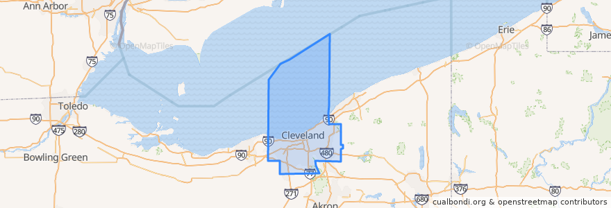
Cuyahoga County
Cuyahoga County
See in interactive map
Routes of public transport
Greyhound 1117: Cleveland, OH → Cincinnati, OH
Greyhound 4400: Cincinnati, OH → Cleveland, OH
RTA 28A Euclid
RTA 28 Euclid
RTA 32 Cedar
RTA 34 East 200-Green
RTA 37 East 175-Taylor
RTA 41F Warrensville (northbound)
RTA 41F Warrensville (southbound)
RTA 54 Brookpark
RTA 79A Fulton
RTA B-Line Trolley
RTA Blue Line: South Harbor → Warrensville–Van Aken
RTA Blue Line: Warrensville–Van Aken → South Harbor
RTA C-Line Trolley
RTA E-Line Trolley
RTA Green Line: Green Road → South Harbor
RTA Green Line: South Harbor → Green Road
RTA NineTwelve Line
RTA Red Line: Airport → Windermere
RTA Red Line: Windermere → Airport
Places
Cleveland
(19)
East Cleveland
(7)
Shaker Heights
(7)
Beachwood
(4)
Brook Park
(4)
Cleveland Heights
(4)
Euclid
(4)
South Euclid
(4)
University Heights
(4)
Brooklyn
(2)
Glenwillow
(2)
Highland Hills
(2)
Lakewood
(2)
Orange
(2)
Parma
(2)
Solon
(2)
Warrensville Heights
(2)
Brecksville
(1)
Broadview Heights
(1)
Cuyahoga Heights
(1)
Independence
(1)
Lyndhurst
(1)
Middleburg Heights
(1)
Newburgh Heights
(1)
Strongsville
(1)
Bay Village
(0)
Bedford
(0)
Bedford Heights
(0)
Bentleyville
(0)
Berea
(0)
Brooklyn Heights
(0)
Chagrin Falls
(0)
Chagrin Falls Township
(0)
Fairview Park
(0)
Garfield Heights
(0)
Gates Mills
(0)
Highland Heights
(0)
Maple Heights
(0)
Mayfield
(0)
Mayfield Heights
(0)
Moreland Hills
(0)
North Olmsted
(0)
North Randall
(0)
North Royalton
(0)
Oakwood
(0)
Olmsted Falls
(0)
Olmsted Township
(0)
Parma Heights
(0)
Pepper Pike
(0)
Richmond Heights
(0)
Rocky River
(0)
Seven Hills
(0)
Valley View
(0)
Walton Hills
(0)
Westlake
(0)
Woodmere
(0)
Stops
Emerald Valley (Glenwillow)
West 65th–Lorain (Eco-Village)
Warrensville - Shaker Rapid Station
Emerald Valley (Glenwillow)
Settlers Landing
Louis Stokes Station at Windermere
Courtland
-81.5185452, 41.4787886
East 105th–Quincy
Southington
Warrensville–Shaker
Tower City
Tower City
Lynnfield
West 117th–Madison
-81.56397650000001, 41.501174500000005
Little Italy–University Circle
Avalon
-81.55631410000001, 41.501245100000006
Tower City
Tri-C–Campus District
Triskett
Superior
West 117th–Madison
Onaway
East 55th
Drexmore
West Park
Puritas
-81.51687600000001, 41.479120900000005
Points of interest
United Glorious Church of God in Christ
Union Grove Baptist Church
PNC
PNC Bank
Parma
Spiritual Science Church
Potbelly
Michael's
Collinwood Station Cleveland Post Office
Shooter's
Subway
Nora
Richmond Restaurant
China MountaIn
Georgio's
Huntington Bank
Cleveland Sight Center
Auntie Anne's
Judd's City Tavern
Saint Christines Catholic Church
Antonio's
Chase Bank
Charles Schwab
Starbucks
Heck's
McDonald's
Le Petit Triangle
Panera Bread
Arby's
Buffalo Wild Wings