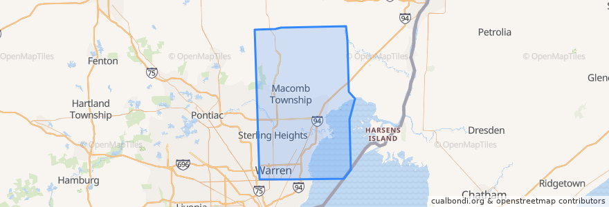
Routes of public transport
Stops
- 12 Mile / Gratiot NS (WB)
- 12 Mile / Van Laan (WB)
- Gratiot / Delaware (NB)
- -82.907887, 42.500362300000006
- 10 Mile / Buick (EB)
- -83.0298025, 42.5647961
- Van Dyke / Westminster (SB)
- Van Dyke / Public Storage (NB)
- -83.0328064, 42.4773037
- -83.05861990000001, 42.476911900000005
- -82.9425934, 42.4877246
- -82.96973750000001, 42.5530722
- 10 Mile / Malvina (WB)
- 12 Mile / Norwood (WB)
- -82.9525771, 42.472582100000004
- -82.89818310000001, 42.5241613
- Kelly / Sprenger (SB)
- -82.9861523, 42.4783136
- Garfield / 18 Mile (SB)
- -83.0183173, 42.626099100000005
- Harper / 13 Mile (NB)
- 12 Mile / Macomb Community College (WB)
- 15 Mile / Cavant (WB)
- -83.0426771, 42.477169800000006
- -83.0801582, 42.4764232
- -83.024775, 42.506717200000004
- Gratiot / Euclid (SB)
- Harper / Harper Lake (NB)
- 10 Mile / Lawrence (EB)
- -82.9372072, 42.4799425
Points of interest
