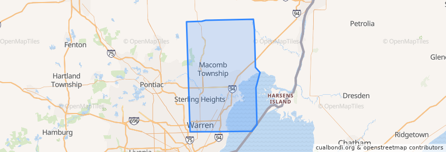
Rotas de transporte público
Paradas
- -82.8628391, 42.6261595
- -82.90838070000001, 42.510592800000005
- -82.7859521, 42.6752574
- 10 Mile / Mound (EB)
- -82.84123500000001, 42.6647071
- -82.9441814, 42.5094441
- -82.929523, 42.507741
- Garfield / Faulman (SB)
- 10 Mile / Hesse (WB)
- -82.8072276, 42.6745274
- 12 Mile / Pinto (EB)
- Van Dyke / Old 13 Mile (SB)
- -83.01904660000001, 42.5514572
- 10 Mile / Grove (EB)
- -82.90745980000001, 42.4897736
- -82.8648067, 42.622305700000005
- Gratiot / Lydia (SB)
- -82.89830110000001, 42.509877700000004
- 12 Mile / Michigan (WB)
- -82.950782, 42.5642784
- Masonic / Country Club (WB)
- 12 Mile / Little Mack (EB)
- -83.01464800000001, 42.5068726
- -83.0270325, 42.4717884
- -82.89909850000001, 42.5323529
- Gratiot / Moser (SB)
- Gratiot / Vermander (SB)
- -83.0316523, 42.610563000000006
- -82.87259750000001, 42.6089667
- Little Mack / Ardmore Park NS (NB)
Pontos de interesse
