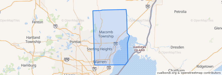
Routen des öffentlichen Verkehrs
Haltestellen
- Little Mack / Fenton (NB)
- -82.8847286, 42.5006331
- -82.9053909, 42.510272900000004
- Garfield / 42450 (NB)
- -82.833213, 42.6763526
- 23 Mile / Nicolette NS (WB)
- -83.0263176, 42.455463900000005
- Harper / 15 Mile (SB)
- -82.9487517, 42.5093145
- -82.9845205, 42.47842
- Little Mack / Stanley (NB)
- Masonic / Greater Mack (WB)
- -82.9050072, 42.472519600000005
- Harper / Martin (SB)
- Gratiot / Kibbee (NB)
- -83.0178719, 42.4776102
- Harper / Share (SB)
- 23 Mile / English Oaks (EB)
- Gratiot / Athena (NB)
- -82.8814682, 42.5897486
- Masonic / Little Mack NS (WB)
- -82.7285815, 42.691162000000006
- -82.7749122, 42.6755512
- Harper / Violet (NB)
- Masonic / Little Mack (WB)
- 23 Mile / Baker (WB)
- -82.95049130000001, 42.5562339
- Van Dyke / Kennedy Cir S (NB)
- 12 Mile / Calahan (WB)
- Masonic / St Margaret (EB)
Sehenswürdigkeiten
