Login
Usuarios estrella
Encuesta
Inicio
>
Estados Unidos de América
>
Virginia
>
York County
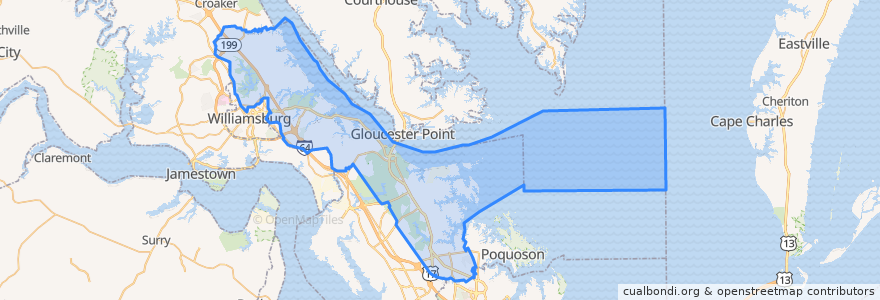
York County
Ver en mapa interactivo
Recorridos de transporte público
Blue Line/Richmond Rd to Walmart
Blue Line/Richmond Rd to WTC
Orange/Merrimac Trail to WTC
Lugares
Yorktown
(0)
Paradas
Marquis Shopping Ctr @ Dicks Sporting Goods
Water Country Pkwy @ Wyndham Hotel
Penniman Rd & Queens Creek Rd
Merrimac Trl & Armstrong Dr
Merrimac Trl & James York Plaza
Merrimac Trl & Douglas Dr
Penniman Rd & Custis Dr
Penniman Rd & Magruder ES
Marquis Shopping Center @ Target
Penniman Rd & Vineyard Ln
Tam-O-Shanter Blvd
Penniman Rd & Dodge Dr
Alexander Lee Pkwy @ Peoples Place
Walmart
Merrimac Trl & Colonial Towne Apartments
Merrimac Trl & Parchment Blvd (CBH)
Merrimac Trl & Priorslee Ln
Merrimac Trl & Farm Fresh
Puntos de interés
Magruder Middle School
Antonio's Ristorante Italiano
Merrimac Trl & Priorslee Ln
Grace Church
Yorktown
Merrimac Trl & Colonial Towne Apartments
Taco Bell
Magruder Elementary School
Merrimac Trl & Queen Anne
Merrimac Trl & Douglas Dr
Saint Johns Church
York County
Merrimac Trl & Parkway Apartments
Rite Aid
Bruton Fire Station Number 3
Church of the Nazarene