Login
Star users
Poll
Home
>
United States
>
California
>
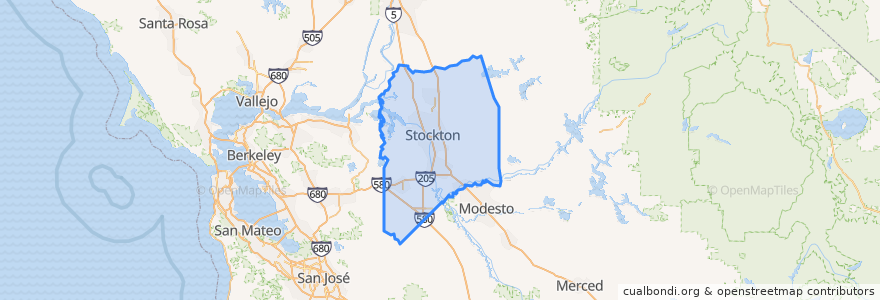
San Joaquin County
San Joaquin County
See in interactive map
Routes of public transport
Altamont Corridor Express: San José => Stockton (evenings)
Altamont Corridor Express: Stockton => San José (mornings)
Amtrak San Joaquins: Bakersfield => Oakland
Amtrak San Joaquins: Bakersfield => Sacramento
Amtrak San Joaquins: Oakland => Bakersfield
Amtrak San Joaquins: Sacramento => Bakersfield
Flixbus 2006: Los Angeles=> Sacramento
Flixbus 2006: Sacramento => Los Angeles
Places
Stockton
(8)
Escalon
(4)
Lodi
(4)
Manteca
(4)
Lathrop
(2)
Lodi
(2)
Lodi
(2)
Tracy
(2)
Stops
Lodi
Stockton–Downtown
Lodi
Stockton–San Joaquin Street
Tracy
Lathrop/Manteca
Tracy
Lathrop/Manteca
FlixBus Stockton
FlixBus Stockton
Stockton–Downtown
Stockton–San Joaquin Street
Points of interest
Mount Calvary Baptist Church
Stribley Community Cnter
Saint Johns Baptist Church
Wingstop
Free Methodist Church
L&L Hawaiian Barbecue
Mount Sinai Church of God in Christ
Saint Annes Roman Catholic Church
First Assembly of God Church
Church of Christ
Chevron
KFC
Saint Marys Episcopal Church
Arco
Lifeseed Christian Fellowship Church
Valero
Lodi City Hall
Central Fire Station
Salas Park
Saint Peters School
Lodi
Jack in the Box
Lodi
Valley Inn
Sonic
First Baptist Church
Central Fire Station
Deuel Vocational Institution
McDonald's
Jamba Juice