وارد شدن
کاربران ستاره
نظرسنجی
شروع
>
ایالات متحده آمریکا
>
کالیفرنیا
>
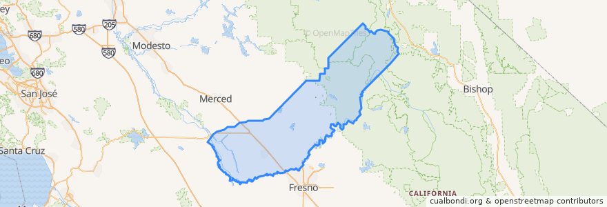
Madera County
Madera County
در نقشه تعاملی مشاهده کنید
مسیرهای حمل و نقل عمومی
Amtrak San Joaquins: Bakersfield => Oakland
Amtrak San Joaquins: Bakersfield => Sacramento
Amtrak San Joaquins: Oakland => Bakersfield
Amtrak San Joaquins: Sacramento => Bakersfield
Flixbus 2006: Los Angeles=> Sacramento
Flixbus 2006: Sacramento => Los Angeles
Flixbus N2006: Los Angeles => Reno
Flixbus N2006: Reno => Los Angeles
Flixbus N2008: Las Vegas => San Francisco
Flixbus N2008: San Francisco => Las Vegas
اماکن
Chowchilla
(2)
Chowchilla
(0)
Chowchilla
(0)
Madera
(0)
Parksdale
(0)
Yosemite Lakes
(0)
ایستگاه
Madera
Madera
نقاط مورد علاقه
Starbucks
Denny's
Valero
Grace Tabernacle Church
Subway
Wells Fargo
Madera County Library
Saint Joachim Elementary School
McDonald's
Carniceria Y Tacos Mexico
کالیفرنیا
Believers Church of Madera
Galilee Missionary Baptist Church
Madera City Hall
Madera Free Will Baptist Church
Madera County
Chowchilla
Yosemite Lakes
Chowchilla
Subway
Madera County Law Library
Jack in the Box
Shell Gas Station
Wendy's
Pilot
Madera
Chowchilla
Yum Yum Donuts
Valero Gas Station
Carl's Jr.