ログインする
スターユーザー
投票
ホーム
>
アメリカ合衆国
>
カリフォルニア州
>
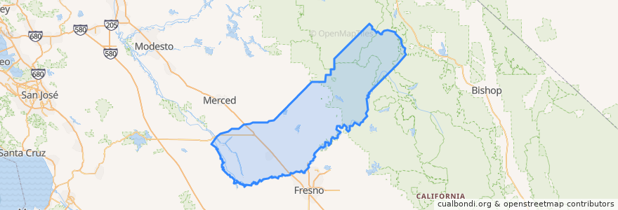
Madera County
Madera County
インタラクティブマップで見る
公共交通機関のルート
Amtrak San Joaquins: Bakersfield => Oakland
Amtrak San Joaquins: Bakersfield => Sacramento
Amtrak San Joaquins: Oakland => Bakersfield
Amtrak San Joaquins: Sacramento => Bakersfield
Flixbus 2006: Los Angeles=> Sacramento
Flixbus 2006: Sacramento => Los Angeles
Flixbus N2006: Los Angeles => Reno
Flixbus N2006: Reno => Los Angeles
Flixbus N2008: Las Vegas => San Francisco
Flixbus N2008: San Francisco => Las Vegas
場所
Chowchilla
(2)
Chowchilla
(0)
Chowchilla
(0)
Madera
(0)
Parksdale
(0)
Yosemite Lakes
(0)
ストップ
Madera
Madera
興味がある点
Denny's
Country Waffles
Starbucks
Chowchilla
Galilee Missionary Baptist Church
Valero Gas Station
Pilot
Madera County Government Center
Chevron
Norman M Gould Education Center
Wells Fargo
Madera County Parking Structure
Carl's Jr.
Jack in the Box
Morning Star Baptist Church
76 Gas Station
Kwick Serve
Believers Church of Madera
First Presbyterian Church
Chowchilla
Madera
Jack in the Box
Subway
Madera City Hall
Shell Gas Station
Chowchilla
Madera County
Carl's Jr.
McDonald's
Saint Joachims Roman Catholic Church