Login
Star users
Poll
Home
>
United States
>
California
>
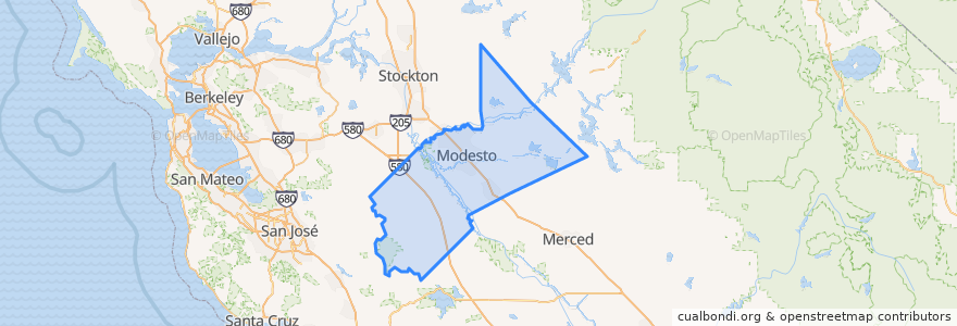
Stanislaus County
Stanislaus County
See in interactive map
Routes of public transport
Amtrak San Joaquins: Bakersfield => Oakland
Amtrak San Joaquins: Bakersfield => Sacramento
Amtrak San Joaquins: Oakland => Bakersfield
Amtrak San Joaquins: Sacramento => Bakersfield
Flixbus 2006: Los Angeles=> Sacramento
Flixbus 2006: Sacramento => Los Angeles
Places
Modesto
(6)
Hughson
(4)
Riverbank
(4)
Ceres
(2)
Turlock
(2)
Newman
(0)
Oakdale
(0)
Oakdale
(0)
Oakdale
(0)
Oakdale
(0)
Patterson
(0)
Waterford
(0)
Stops
Modesto
Turlock-Denair
Turlock-Denair
Modesto
Points of interest
Shell
Saint Stanislaus Roman Catholic Church
Chevron
Glick Middle School
CVS Pharmacy
Saint Paul Missionary Baptist Church
Maric College - Modesto
Denny's
Fosters Freeze
Ceres High School
Gyros & More
Sam's Cafe
Tahoe Joe's
Me n Ed's Pizza
Denair Post Office
Western Dental
First Church of God
Alfonso's Mexican Grill
Starbucks
Country Restaurant
Sikh Temple
Denair Academic Avenues
Stanislaus County Psychiatric Health Facility
Wells Fargo
Thai Food Express
Ceres Branch Stanislaus County Free Library
Oakdale
El Rosal
Del Taco
Empire Elementary School