وارد شدن
کاربران ستاره
نظرسنجی
شروع
>
ایالات متحده آمریکا
>
کالیفرنیا
>
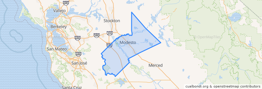
Stanislaus County
Stanislaus County
در نقشه تعاملی مشاهده کنید
مسیرهای حمل و نقل عمومی
Amtrak San Joaquins: Bakersfield => Oakland
Amtrak San Joaquins: Bakersfield => Sacramento
Amtrak San Joaquins: Oakland => Bakersfield
Amtrak San Joaquins: Sacramento => Bakersfield
Flixbus 2006: Los Angeles=> Sacramento
Flixbus 2006: Sacramento => Los Angeles
اماکن
Modesto
(6)
Hughson
(4)
Riverbank
(4)
Ceres
(2)
Turlock
(2)
Newman
(0)
Oakdale
(0)
Oakdale
(0)
Oakdale
(0)
Oakdale
(0)
Patterson
(0)
Waterford
(0)
ایستگاه
Modesto
Turlock-Denair
Turlock-Denair
Modesto
نقاط مورد علاقه
Church of Christ
Modesto Greyhound Bus Station
PostalAnnex
Monte Vista Dental
The UPS Store
Livingway Tabernacle
Oakdale
Jamba Juice
Robert Taylor's Karate
Taco Bell
Clinton African Methodist Episcopal Zion Church
ARCO AM/PM
Chevron
Sam's Cafe
Glick Middle School
Papa Murphy's
Heartland Mills
Denny's
First Church of God
Sushi Cuisine
Garrison-Kelley Elementary School
Sisk Veterinary Hospital
Arco
Chipotle
Denair Post Office
Denair Branch Stanislaus County Free Library
Modesto Greyhound Bus Stop
Maric College - Modesto
Pelandale Dental Care
Hughson Branch Stanislaus County Free Library