Login
Star users
Poll
Home
>
United States
>
Georgia
>
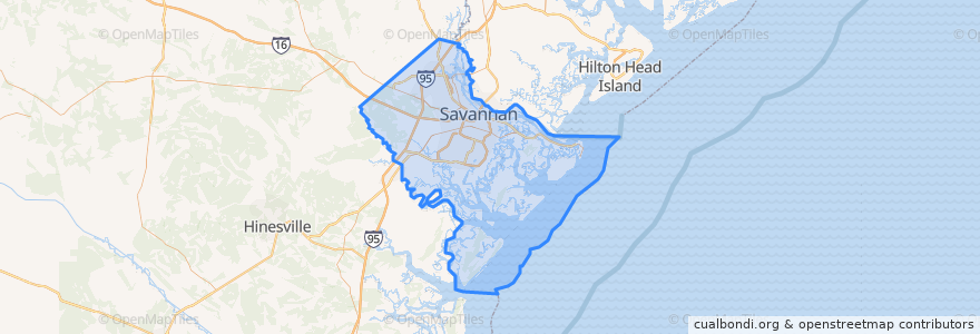
Chatham County
Chatham County
See in interactive map
Routes of public transport
CAT 100X Airport Express
CAT dot Downtown Loop
CAT dot Forsyth Loop
River Street Streetcar
Places
Savannah
(4)
Pooler
(1)
Bloomingdale
(0)
Garden City
(0)
Port Wentworth
(0)
Thunderbolt
(0)
Tybee Island
(0)
Vernonburg
(0)
Stops
-81.0839272, 32.0797122
-81.086544, 32.080574500000004
-81.0912545, 32.081711500000004
-81.0951199, 32.0830815
A
-81.0887288, 32.0810377
-81.0931434, 32.0823204
Points of interest
The Coffee Fox
Stoner’s Pizza
Bull Street Baptist Church
Joe's Crab Shack
SCAD Turner Fountain
Heiwas
Spudnik Gourmet Potato Bowls
Lucas Theatre
Tree House Savannah
The Olde Pink House
Regions Bank
Subway
Rocks on the Roof
Savannah Airport Police Department
Tondees Tavern
Burger King
Olympia Cafe
The Crypt Pub
First New Light Baptist Church
Bee Fuel
Rocks on the River
Kelly Temple Church of Christ
Hueys On The River
City market open air music
City Hall Landing
Panera Bread
Trade Center Landing
PGA Tour Grill
Savannah Theatre
B. Mathew’s Eatery