로그인
스타 사용자
투표
홈페이지
>
미국
>
조지아
>
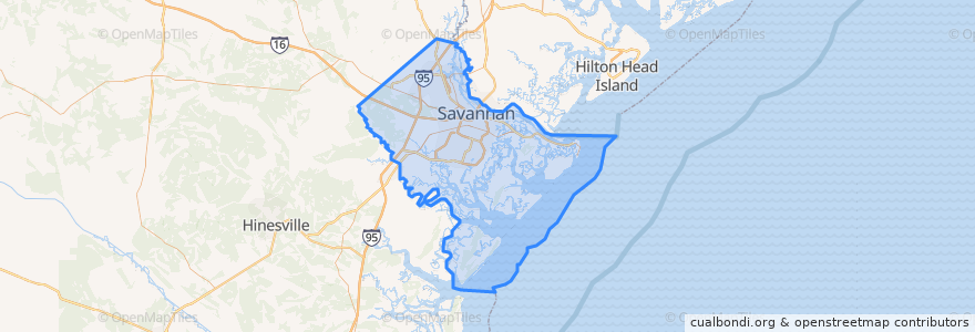
Chatham County
Chatham County
대화식지도에서보기
대중 교통 경로
CAT 100X Airport Express
CAT dot Downtown Loop
CAT dot Forsyth Loop
River Street Streetcar
장소
Savannah
(4)
Pooler
(1)
Bloomingdale
(0)
Garden City
(0)
Port Wentworth
(0)
Thunderbolt
(0)
Tybee Island
(0)
Vernonburg
(0)
버스 정류장
-81.0951199, 32.0830815
-81.0931434, 32.0823204
-81.086544, 32.080574500000004
A
-81.0912545, 32.081711500000004
-81.0839272, 32.0797122
-81.0887288, 32.0810377
가볼만한 곳
Lulu's Chocolate Bar
Alleycat Lounge
Cha Bella
Chatham County Jail
Barrelhouse South
Savannah Airport Police Department
Tondees Tavern
Pooler
District Café
Kayak Kafe
J.C. Lewis Primary Health Care Center
Asbury United Methodist Church
Savannah Theatre
Bernie's Restaurant and Bar
Abercorn Street School
Churchill's Gastropub & Taphouse
Starbucks
Savannah
Gazebo
Saint Philip African Methodist Episcopal Church
First Mount Bethel Baptist Church
Green Fire Pizza
Bench
B. Mathew’s Eatery
The Melting Pot
Shell
Bull Street Baptist Church
Garrison Elementary School
Chatham County
Five Guys