Login
Star users
Poll
Home
>
United States
>
Georgia
>
Chatham County
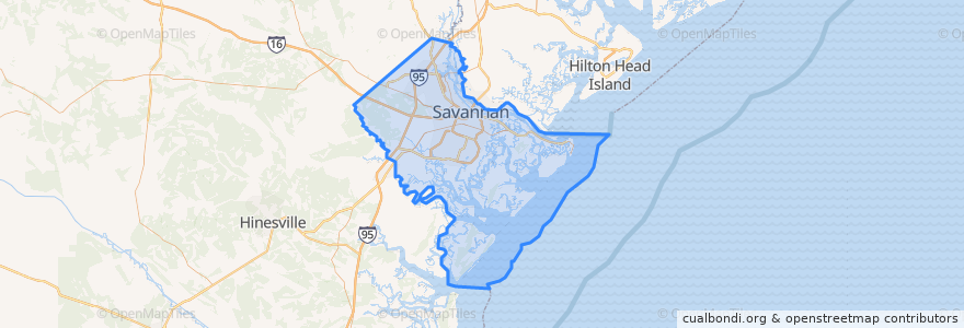
Chatham County
See in interactive map
Routes of public transport
CAT 100X Airport Express
CAT dot Downtown Loop
CAT dot Forsyth Loop
River Street Streetcar
Places
Savannah
(4)
Pooler
(1)
Bloomingdale
(0)
Garden City
(0)
Port Wentworth
(0)
Thunderbolt
(0)
Tybee Island
(0)
Vernonburg
(0)
Stops
-81.0951199, 32.0830815
-81.0887288, 32.0810377
A
-81.086544, 32.080574500000004
-81.0912545, 32.081711500000004
-81.0931434, 32.0823204
-81.0839272, 32.0797122
Points of interest
Gaines Chapel African Methodist Episcopal Church
Joe's Crab Shack
Amigos
Chatham County
Papillote
Rocks on the Roof
Saint Andrew's Independent Episcopal Church
Isaac's on Drayton
Brasserie
Coastal Georgia Academy
Boar's Head Grill & Tavern
Kelly Temple Church of Christ
McDonald's
Wild Wing Cafe
Mirabelle
Lucas Theatre
The Ordinary Pub
Savannah Theatre
The Warehouse Bar & Grille
The Grey
Treylor Park
Ampersand
First Mount Bethel Baptist Church
Spankys River Street
J.C. Lewis Primary Health Care Center
Bull Street Baptist Church
Tybee Island
PGA Tour Grill
Alleycat Lounge
Telfair Square Post Office