Login
Usuarios estrella
Encuesta
Inicio
>
Estados Unidos de América
>
Massachusetts
>
Berkshire County
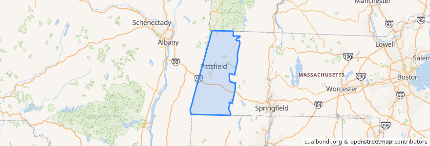
Berkshire County
Ver en mapa interactivo
Recorridos de transporte público
Route 15
Lugares
Pittsfield
(1)
Adams
(0)
Alford
(0)
Becket
(0)
Cheshire
(0)
Clarksburg
(0)
Dalton
(0)
Egremont
(0)
Florida
(0)
Great Barrington
(0)
Hancock
(0)
Hinsdale
(0)
Lanesborough
(0)
Lee
(0)
Lenox
(0)
Monterey
(0)
Mount Washington
(0)
New Ashford
(0)
New Marlborough
(0)
North Adams
(0)
Otis
(0)
Peru
(0)
Richmond
(0)
Sandisfield
(0)
Savoy
(0)
Sheffield
(0)
Stockbridge
(0)
Tyringham
(0)
Washington
(0)
West Stockbridge
(0)
Williamstown
(0)
Windsor
(0)
Paradas
Lebanon Ave
Puntos de interés
Pittsfield Fire Department
North Adams
Monterey
Florida
Savoy
Old Central Fire Station
Eat on North
Alford
Richmond
New Marlborough
South Congregational Church
West Stockbridge
Egremont
Windsor
Otis
Lenox
Pittsfield Fire Department
First Church of Christ Congregational
Tabernacle Baptist Church
Shiro Sushi Lounge
Lanesborough
Great Barrington
Saint George Greek Orthodox Church
The Marketplace Cafe
Mount Washington
Lee
Cheshire
Hinsdale
Berkshire County
Sandisfield