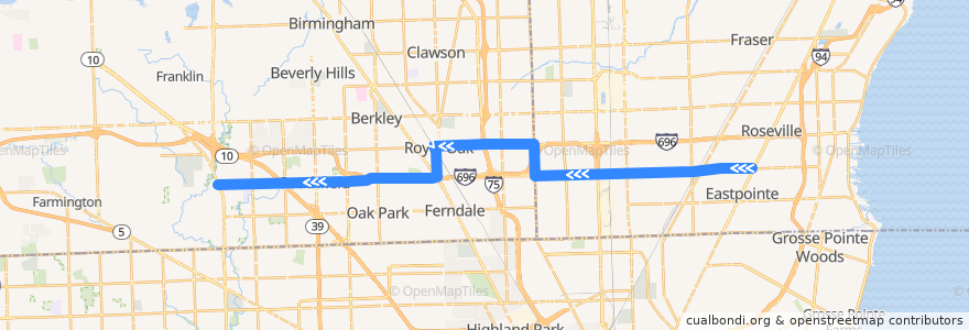
Route 730 WB: Gratiot => Telegraph
Places that travel to
Points of interest near the route
Stops:
- -83.2218701, 42.4733626
- -83.1399092, 42.489935200000005
- 10 Mile / Berg (WB)
- 10 Mile / Tecla (WB)
- 10 Mile / WXYZ (WB)
- Woodward / Washington (SB)
- -83.2828475, 42.4718776
- 10 Mile / Loretta (WB)
- -83.1465228, 42.4853528
- 10 Mile / Rutland (WB)
- 10 Mile / Maryland (WB)
- 10 Mile / Ford (WB)
- -82.9674461, 42.479524100000006
- -83.2441002, 42.4728123
- -83.0328064, 42.4773037
- 10 Mile / Mound (WB)
- -83.0879366, 42.490774900000005
- -82.981238, 42.4786517
- -83.0520809, 42.4770495
- 11 Mile / Hales (WB)
- -83.105677, 42.490861800000005
- -83.0846255, 42.478752
- -83.03547300000001, 42.477230500000005
- -82.9761587, 42.479004700000004
- -83.2061632, 42.4737263
- 10 Mile / Scotia (WB)
- 11 Mile / Curry NS (WB)
- 10 Mile / Manistee (WB)
- 10 Mile / Santa Barbara (WB)
- 10 Mile / Circle (WB)
- 10 Mile / Liberal (WB)
- 10 Mile / Pineview (WB)
- 11 Mile / Dequindre (WB)
- -83.0710418, 42.4765943
- 10 Mile / Dodge (WB)
- -83.14658320000001, 42.4869889
- Washington / Hudson (SB)
- 11 Mile / Osmun (WB)
- 11 Mile / Alger (WB)
- -83.09055450000001, 42.4907953
- 11 Mile / Altadena (WB)
- 10 Mile / Campbell (WB)
- -82.993936, 42.4781355
- -83.01323710000001, 42.477740000000004
- 11 Mile / Farmer's Market (WB)
- 10 Mile / Barbara Fritchie (WB)
- -83.0801582, 42.4764232
- -83.2614111, 42.4724109
- -83.13308330000001, 42.490138900000005
- -83.0752496, 42.476518600000006
- 10 Mile / Lathrup (WB)
- -83.125045, 42.4903512
- -83.04601360000001, 42.4771507
- 10 Mile / Kipling (WB)
- -83.0230647, 42.4775098
- 10 Mile / Automobile (WB)
- 10 Mile / Rue Versailles (WB)
- 10 Mile / Comfort (WB)
- -83.1861538, 42.474865400000006
- 10 Mile / Hayes (WB)