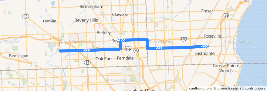
مسلك 730 WB: Gratiot => Telegraph
الأماكن التي تسافر إليها
النقاط المهمة بالقرب من الطريق
موقف:
- 10 Mile / Hesse (WB)
- -82.9795813, 42.478771900000005
- 10 Mile / Northwestern (WB)
- 10 Mile / Send (WB)
- 10 Mile / Schoenherr (WB)
- -83.1399092, 42.489935200000005
- 10 Mile / Ford (WB)
- -83.2343532, 42.473061200000004
- -82.9697751, 42.479397600000006
- Dequindre / Tobsal NS (NB)
- Washington / Parent NS (SB)
- -83.0710418, 42.4765943
- -83.01323710000001, 42.477740000000004
- -83.1141097, 42.490633100000004
- 10 Mile / Scotia (WB)
- -83.20012820000001, 42.473878
- -83.1474025, 42.4884514
- 10 Mile / Eureka (WB)
- -83.05608260000001, 42.4769755
- 10 Mile / Fern (WB)
- 10 Mile / Coolidge (WB)
- 10 Mile / Tecla (WB)
- Sherman / Royal Oak Transit Center (SB)
- Woodward / Washington (SB)
- 10 Mile / Lois (WB)
- -83.0879366, 42.490774900000005
- 10 Mile / Constitution NS (WB)
- -83.03547300000001, 42.477230500000005
- Dequindre / Concept (NB)
- Dequindre / Riggs (NB)
- 10 Mile / Ryan (WB)
- -82.993936, 42.4781355
- -83.08492530000001, 42.4861068
- 10 Mile / Westbrook (WB)
- 10 Mile / Manistee (WB)
- 10 Mile / Mulberry (WB)
- -83.0930864, 42.490807200000006
- 10 Mile / Lathrup (WB)
- -83.14643570000001, 42.4831634
- 10 Mile / Hoover (WB)
- 10 Mile / Cole (WB)
- -83.0520809, 42.4770495
- 10 Mile / Rosewood (WB)
- 10 Mile / Malvina (WB)
- 10 Mile / Beierman (WB)
- -83.0178719, 42.4776102
- -83.1927411, 42.4740063
- 11 Mile / Altadena (WB)
- Washington / Hudson (SB)
- 10 Mile / Dodge (WB)
- -83.05861990000001, 42.476911900000005
- 10 Mile / Morton (WB)
- -83.24095720000001, 42.4728962
- -83.09055450000001, 42.4907953
- -83.15637600000001, 42.474904
- -83.0752496, 42.476518600000006
- Washington / Lincoln (SB)
- -83.218367, 42.4734434
- -82.9761587, 42.479004700000004
- -83.0305802, 42.477357600000005