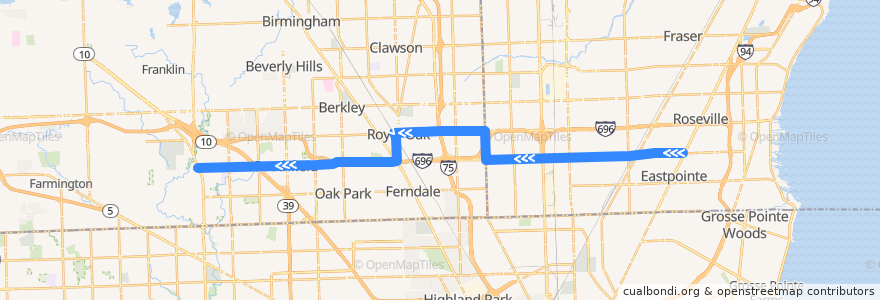
Route 730 WB: Gratiot => Telegraph
Places that travel to
Points of interest near the route
Stops:
- Washington / Allenhurst (SB)
- -83.1377939, 42.489997100000004
- -83.02794080000001, 42.477434800000005
- 10 Mile / Scotia (WB)
- -83.0426771, 42.477169800000006
- 10 Mile / Liberal (WB)
- -83.1834333, 42.474843400000005
- -83.23141860000001, 42.4731394
- 10 Mile / Van Dyke (WB)
- -82.9873591, 42.478258600000004
- 10 Mile / Lahser (WB)
- 10 Mile / Church (WB)
- -82.9845205, 42.47842
- 10 Mile / Manistee (WB)
- 10 Mile / Burt (WB)
- 10 Mile / Lawrence (WB)
- -83.14658320000001, 42.4869889
- 11 Mile / Hales (WB)
- 11 Mile / Dequindre (WB)
- -83.14643570000001, 42.4831634
- -83.00305010000001, 42.4779641
- 10 Mile / Hayes (WB)
- 10 Mile / Beierman (WB)
- 10 Mile / Morton (WB)
- 10 Mile / Lawrence Tech (WB)
- -83.2279635, 42.4732323
- 10 Mile / Evergreen (WB)
- -83.09055450000001, 42.4907953
- 10 Mile / Greenfield (WB)
- -83.0846255, 42.478752
- -83.2441002, 42.4728123
- -83.0178719, 42.4776102
- -83.0801582, 42.4764232
- Eleven Mile / Hampden (WB)
- 10 Mile / Warner (WB)
- -83.105677, 42.490861800000005
- 10 Mile / Fern (WB)
- -82.993936, 42.4781355
- -83.25805270000001, 42.472493300000004
- -83.2465519, 42.4727641
- -83.1289102, 42.4902503
- -83.0861558, 42.4907677
- 11 Mile / Farmer's Market (WB)
- 10 Mile / Godin (WB)
- -83.22474000000001, 42.4733019
- -83.0710418, 42.4765943
- 10 Mile / Red River (WB)
- 10 Mile / Ryan (WB)
- -83.0305802, 42.477357600000005
- Washington / Parent NS (SB)
- -83.05861990000001, 42.476911900000005
- -83.2024724, 42.473831700000005
- 10 Mile / Northwestern (WB)
- 10 Mile / Hesse (WB)
- -82.9674461, 42.479524100000006
- -83.0879366, 42.490774900000005
- 10 Mile / Groesbeck (WB)
- -83.20851280000001, 42.473674200000005
- 11 Mile / Curry NS (WB)
- 10 Mile / Thomas (WB)