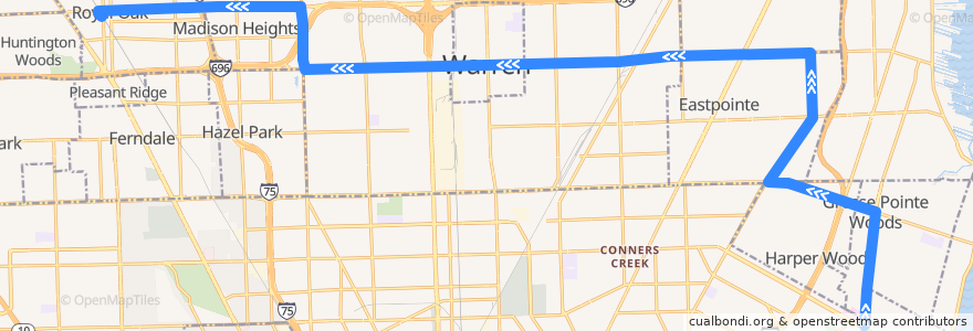
Route 730 WB: Mack/Moross => Royal Oak
Places that travel to
Points of interest near the route
Stops:
- -82.9268018, 42.473201100000004
- -82.9654797, 42.4795504
- -83.05375450000001, 42.4770254
- -83.01323710000001, 42.477740000000004
- -83.0879366, 42.490774900000005
- -83.0801582, 42.4764232
- Kelly / Collinson (SB)
- -83.1289102, 42.4902503
- -82.9360096, 42.4553075
- -83.1141097, 42.490633100000004
- 11 Mile / Troy (WB)
- 10 Mile / Groesbeck NS (WB)
- 10 Mile / Thomas (WB)
- -82.9383775, 42.4528219
- 11 Mile / Hales (WB)
- -82.91044980000001, 42.4176431
- -83.03547300000001, 42.477230500000005
- -83.0328064, 42.4773037
- 11 Mile / Vermont (WB)
- 10 Mile / Automobile (WB)
- 10 Mile / Sherwood (WB)
- Mack / Ford (NB)
- -82.9339691, 42.450229500000006
- -82.93213920000001, 42.449787
- 10 Mile / Ford (WB)
- -83.0520809, 42.4770495
- Vernier / Helen (WB)
- -82.9100544, 42.4211279
- -82.9761587, 42.479004700000004
- Kelly / Stephens (NB)
- -82.94609580000001, 42.479731
- Mack / Kroger (NB)
- -83.02794080000001, 42.477434800000005
- -82.981238, 42.4786517
- 11 Mile / Altadena (WB)
- -82.922932, 42.447549
- -83.1377939, 42.489997100000004
- -82.92687190000001, 42.475225800000004
- -82.92654900000001, 42.448433
- -83.0617316, 42.476828100000006
- 10 Mile / Lawn (WB)
- 10 Mile / Groesbeck (WB)
- 10 Mile / Godin (WB)
- -82.9077693, 42.4377258
- 10 Mile / Ryan (WB)
- -83.0845374, 42.476686900000004
- -82.9845205, 42.47842
- Mack / Torrey (NB)
- -82.92762090000001, 42.4802459
- -82.909197, 42.4283312
- Mack / Lochmoor (NB)
- -83.104427, 42.490868500000005
- -82.93698930000001, 42.450607700000006
- 11 Mile / Alger (WB)
- -82.93416880000001, 42.457306100000004
- -83.00305010000001, 42.4779641
- 10 Mile / Liberal (WB)
- -82.9401095, 42.4798719
- Kelly / Ash (NB)
- 10 Mile / Schoenherr (WB)