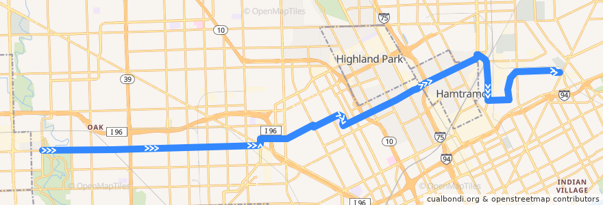
Route 38 EB: Outer Dr => Gratiot
Places that travel to
Points of interest near the route
Stops:
- Plymouth / Southfield (EB)
- Plymouth / Whitcomb (EB)
- -83.1583662, 42.3735098
- -83.2275523, 42.3720532
- Plymouth / Wyoming (EB)
- Plymouth / Terry (EB)
- Plymouth / Rutherford (EB)
- Plymouth / Evergreen (EB)
- St Cyril / Guthrie (NB)
- -83.1616599, 42.3734253
- Trowbridge / Brush (EB)
- Calvert / Woodward NS (EB)
- -83.15151490000001, 42.3741186
- Plymouth / Northlawn (EB)
- -83.1539376, 42.373595900000005
- -83.03165050000001, 42.3904129
- -83.0374252, 42.3937077
- -83.09484710000001, 42.3862121
- -83.0799362, 42.391748500000006
- -83.19700590000001, 42.3725705
- Trowbridge / John R (EB)
- Plymouth / Griggs (EB)
- -83.1338683, 42.3775537
- -83.03763500000001, 42.398848900000004
- Plymouth / Cheyenne (EB)
- -83.1928553, 42.3726908
- Elmhurst / Oakman (EB)
- Tuxedo / Linwood (EB)
- Calvert / Woodrow Wilson (EB)
- Plymouth / Schaefer (EB)
- Caniff / Alpena (EB)
- Plymouth / Indiana (EB)
- -83.03766350000001, 42.400294800000005
- -83.12922900000001, 42.379389
- Caniff / Cameron (EB)
- Plymouth / Shirley (EB)
- Elmhurst / Monica (EB)
- -83.0375643, 42.3972197
- Mt Elliott / Huber (SB)
- -83.07701270000001, 42.393101400000006
- -83.0560421, 42.4011914
- -83.16666740000001, 42.3732823
- -83.08287800000001, 42.3906362
- Caniff / Russell (EB)
- -83.1442416, 42.376050400000004
- Caniff / Cardoni (EB)
- Caniff / Grand Haven (EB)
- Miller / St Cyril NS (EB)
- -83.1950856, 42.372629800000006
- -83.15616130000001, 42.373553900000005
- Plymouth / Asbury Park (EB)
- Plymouth / Mendota (EB)
- Plymouth / Burt (EB)
- -83.0701744, 42.3959885
- -83.214211, 42.3722964
- Plymouth / Grandville (EB)
- Tuxedo / Lawton (EB)
- Plymouth / Mark Twain (EB)
- Calvert / 3rd (EB)
- -83.1207998, 42.381736000000004