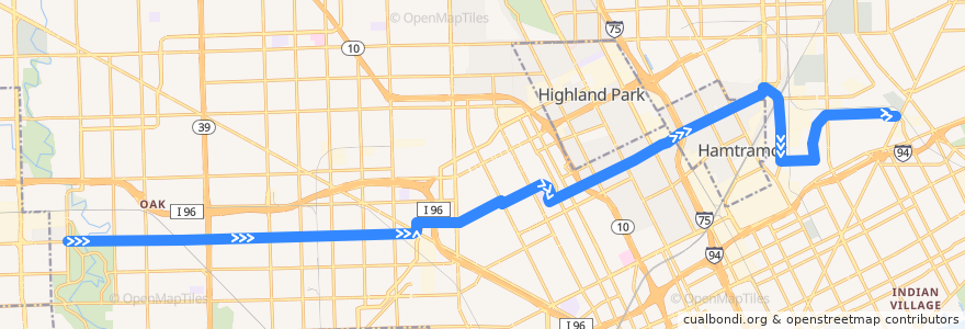
Itinerario 38 EB: Outer Dr => Gratiot
Luoghi nel percorso
Punti di interesse vicino al percorso
Fermate:
- Elmhurst / Monica (EB)
- Plymouth / Burt (EB)
- Plymouth / Indiana (EB)
- Caniff / Alpena (EB)
- Calvert / 14th NS (EB)
- -83.03751600000001, 42.395882
- -83.0428064, 42.4066047
- -83.022666, 42.400943000000005
- -83.037357, 42.3919535
- -83.1850352, 42.3728892
- Traverse / French NS (EB)
- -83.16425190000001, 42.373358100000004
- Calvert / La Salle (EB)
- Tuxedo / Linwood (EB)
- -83.1074954, 42.3815746
- -83.24601, 42.3718318
- -83.1207998, 42.381736000000004
- Plymouth / Penrod (EB)
- Elmhurst / Oakman (EB)
- -83.12922900000001, 42.379389
- Mt Elliott / Oliver (SB)
- Tuxedo / Dexter (EB)
- Caniff / Conant (EB)
- -83.1524907, 42.373603800000005
- Plymouth / Manor (EB)
- Plymouth / Montrose (EB)
- -83.10070710000001, 42.384065500000005
- Plymouth / Northlawn (EB)
- Plymouth / Hubbell (EB)
- Caniff / Oakland (EB)
- Plymouth / Evergreen (EB)
- Caniff / Cameron (EB)
- Plymouth / Appoline (EB)
- -83.16666740000001, 42.3732823
- -83.16937300000001, 42.373203000000004
- Grinnell / Raymond (EB)
- -83.03165050000001, 42.3904129
- -83.18742110000001, 42.372841900000005
- -83.1583662, 42.3735098
- Trowbridge / Brush (EB)
- Mt Elliott / Dodge (SB)
- Caniff / Buffalo (EB)
- Mt Elliott / Doremus (SB)
- -83.0374252, 42.3937077
- -83.0722822, 42.394971500000004
- Caniff / Grand Haven (EB)
- -83.00799350000001, 42.4012465
- -83.0287926, 42.390444800000004
- -83.2299491, 42.3719886
- Mt Elliott / Marcus (SB)
- -83.0267233, 42.390466100000005
- Plymouth / Warwick (EB)
- -83.2200943, 42.3721886
- La Salle / Webb (SB)
- Plymouth / Memorial (EB)
- Plymouth / Grandville (EB)
- Calvert / Hamilton (EB)
- Grinnell / Van Dyke (EB)
- Plymouth / Wyoming (EB)
- -83.017359, 42.40092