Login
Star users
Poll
Home
>
Australia
>
New South Wales
>
Penrith City Council
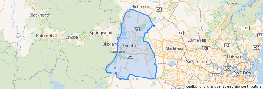
Penrith City Council
See in interactive map
Routes of public transport
Blue Mountains Line
Blue Mountains Line
Broken Hill Xplorer
Broken Hill Xplorer
Dubbo XPT
Dubbo XPT
North Shore & Western Line
North Shore & Western Line
Train Indian Pacific
Train Indian Pacific
Stops
Kingswood
Kingswood
St Marys
Penrith, Platform 2
Lapstone, Platform 2
Emu Plains, Platform 1
Penrith, Platform 3
St Marys
Werrington
Werrington
Emu Plains, Platform 2
Points of interest
Red Cow Inn
Penrith City Library
Mad Toppings
McDonald's
Centercare Pharmacy
Somerset Cottage Early Childhood Education and Care Centre
Windy Sushi
O'Donoghues Irish Pub
Mumbai Express
Russel Street Lunch Stop
Himalaya Restaurant
Pillowtop 423
Roll'd
Manee Manee Thai Restaurant
Nando's
High Street Dental
King of Kebabs
Chemist Warehouse
The Street University
Hoyts
High Street Social
Railway Row Veterinary Clinic
Certified Pizza Bar
Stir Crazy
Sydney Western Medical Centre
Akira Teppanyaki
Nepean Pizza & Charcoals
Sip 'N' Dip
Dosa Hut
Octa Medical