Ouverture de session
Utilisateurs étoile
Sondage
Accueil
>
Australie
>
Nouvelle Galles du Sud
>
Penrith City Council
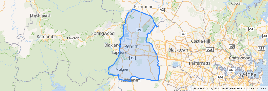
Penrith City Council
Voir sur la carte interactive
Itinéraires des transports publics
Blue Mountains Line
Blue Mountains Line
Broken Hill Xplorer
Broken Hill Xplorer
Dubbo XPT
Dubbo XPT
North Shore & Western Line
North Shore & Western Line
Train Indian Pacific
Train Indian Pacific
Arrêts
Penrith, Platform 3
St Marys
Penrith, Platform 2
Kingswood
Lapstone, Platform 2
Kingswood
St Marys
Werrington
Werrington
Emu Plains, Platform 1
Emu Plains, Platform 2
Points d'interêts
Penrith 361
Stir Crazy
Emu Hall Bar & Kitchen
The Bavarian
Nando's
Nepean Curry in A Hurry
Natural Choice Cafe
Georges Charcoal Chicken
Australian GP Group Medical Centre
Commonwealth Bank
No Gaps Dental
McDonald's
Bicycle Lockers
Western Sydney Pain Centre
Polmarket Deli & Cafe
St.George
EG Australia
Emu Plains Dentist Care
The Carriage
Westpac
G4 Guitar School
AB7 Restaurant
Blooms The Chemist
Itza Mezza Bar & Grill
Nutrition Station
7-Eleven
7-Eleven
Penrith Disabilities Resource Centre
Penrith Police Station
Penrith BBQ