تسجيل الدخول
مستخدمي ستار
تصويت
الصفحة الرئيسية
>
أستراليا
>
نيوساوث ويلز
>
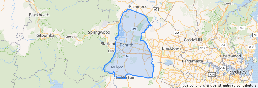
Penrith City Council
Penrith City Council
انظر في الخريطة التفاعلية
طرق النقل العام
Blue Mountains Line
Blue Mountains Line
Broken Hill Xplorer
Broken Hill Xplorer
Dubbo XPT
Dubbo XPT
North Shore & Western Line
North Shore & Western Line
Train Indian Pacific
Train Indian Pacific
موقف
St Marys
Lapstone, Platform 2
St Marys
Kingswood
Penrith, Platform 3
Emu Plains, Platform 2
Emu Plains, Platform 1
Werrington
Penrith, Platform 2
Kingswood
Werrington
مجالات الاهتمام
Russel Street Lunch Stop
Air Liquide Healthcare
Kradle 2 Krayons Long Day Care Centre
Senior Denture Clinic Penrith
Railway Row Veterinary Clinic
Myhealth
Chemist Warehouse
Penrith Medical Centre
The Pizza Stop
Big Daddy's Burger Bar
Gardenside Cafe
Dosa Hut
Commonwealth Bank
Penrith 361
EG Australia
Chemist Warehouse
Centercare Pharmacy
Pillowtop 423
Travelex
High Street Dental
Downtown Brooklyn
Emerald Medical Centre
Westpac
Massage 393
Ronnie's Pizza House
Mad Toppings
Crust
Emu Plains Medical Practice
Pizza King
Mobil