Login
Star users
Poll
Home
>
Australia
>
New South Wales
>
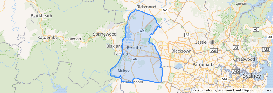
Penrith City Council
Penrith City Council
See in interactive map
Routes of public transport
Blue Mountains Line
Blue Mountains Line
Broken Hill Xplorer
Broken Hill Xplorer
Dubbo XPT
Dubbo XPT
North Shore & Western Line
North Shore & Western Line
Train Indian Pacific
Train Indian Pacific
Stops
Lapstone, Platform 2
Penrith, Platform 3
Kingswood
Emu Plains, Platform 2
St Marys
Werrington
Penrith, Platform 2
Emu Plains, Platform 1
St Marys
Werrington
Kingswood
Points of interest
Cafe LeLunar
Sydney's Charcoal Chicken
Sushi Bay
Sydney Western Medical Centre
Luckys Cafe
Red Rooster
Kiss and Ride
Yogo Cafe
Penrith Police Station
High Street Social
Burger Head
Chemist Warehouse
Bicycle Lockers
Dental Surgery St Marys
Ronnie's Pizza House
Kiss and Ride
7 Eleven
Penrith Dental Clinic
McDonald's
Octa Medical
Cook's Castle
G4 Guitar School
Railway Row Veterinary Clinic
Golden Chopsticks Chinese Restaurant
healthSAVE Penrith 24 Hour Pharmacy
Pizza King
Domino's Pizza
Russel Street Lunch Stop
Anglicare Penrith
Golden Inn